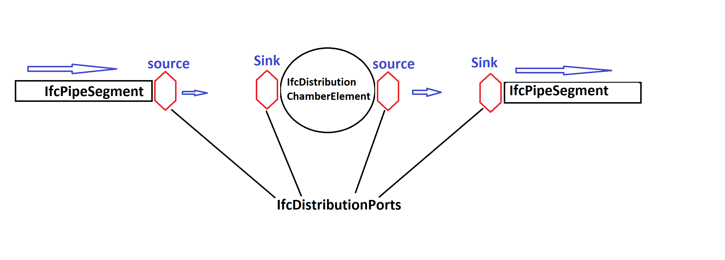
I have an IFC file containing information about sewage pipes. In theory, it should contain two types of object classes (with geometry), namely IfcDistributionChamberElement (Manhole) and IfcPipeSegment (pipe). These classes use their subclasses as connectors, namely IfcDistributionPort (at each object node). Finally, these IfcDistributionPorts should be connected to each other using a relationship class called IfcRelConnectsPorts. In IfcDistributionPort have attribute named FlowDirection with value (source or sink) like in or out. The attached image shows a depiction of the connection.
My question is how to create a shapefile containing line features to represent the flow direction so that when I upload the shapefile into QGIS, I can use arrow symbols on the lines.


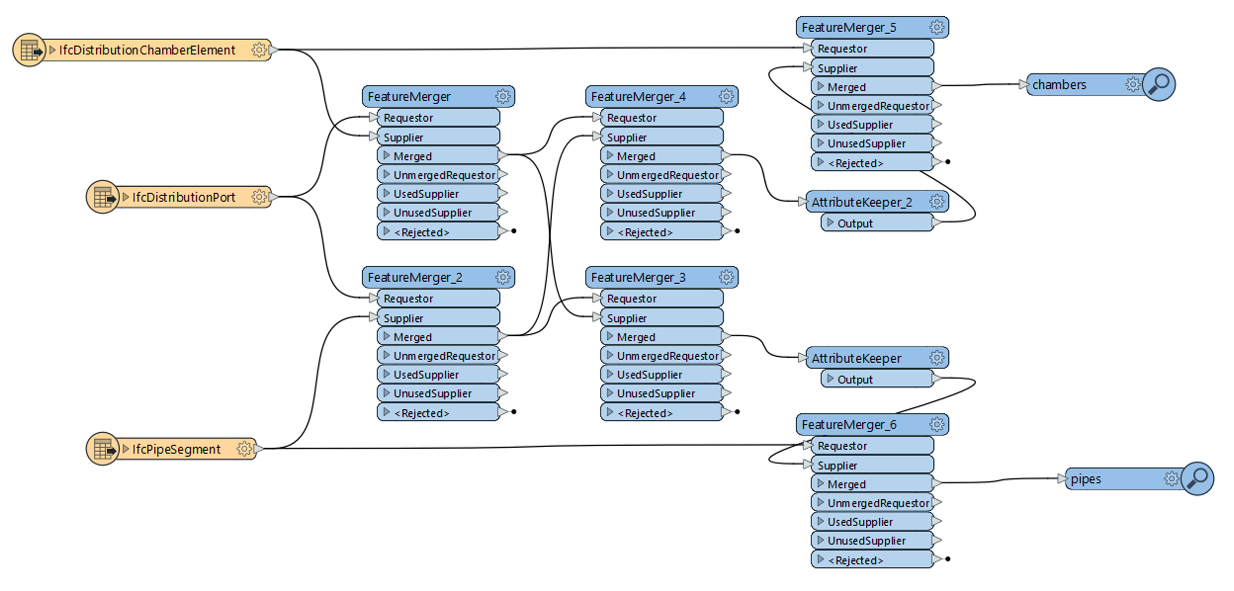
 I am attaching a workspace to illustrate. The resulting pipes will have a list with the connected chamber ids, while the chambers will have a list of the connected pipe ids.