Question

Create empty feature class in file geodatabase with coordinate system

  • April 26, 2023
  • 1 reply
  • 142 views

dannymatranga
Contributor
Forum|alt.badge.img+6

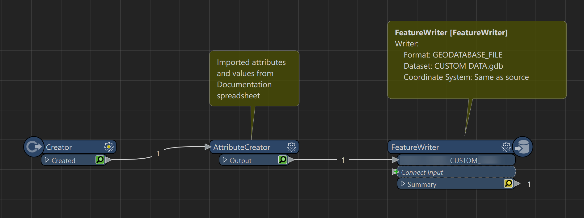
How do I set the coordinate system of a dynamically created empty feature class (polygon) in a file geodatabase?


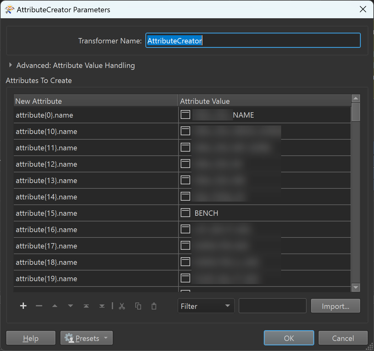
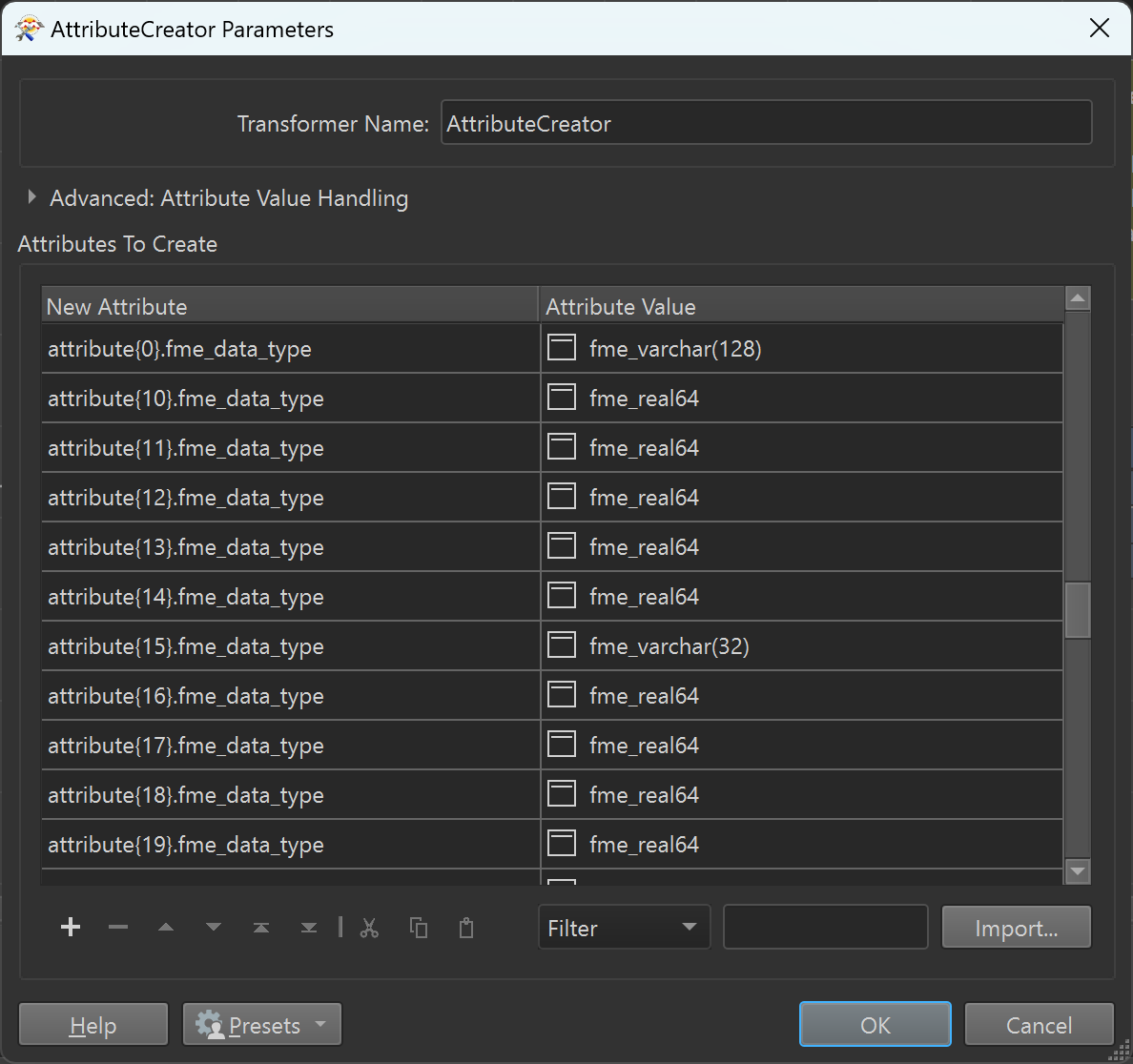
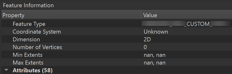
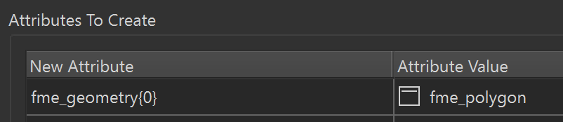
I store dynamic attribute names and data types in a spreadsheet, import those into an AttributeCreator > then create the empty feature class using a FeatureWriter, but the output feature class says coordinate system is 'Unknown' when I open it in Data Inspector.


imageimageimageimage

1 reply

dannymatranga
Contributor
Forum|alt.badge.img+6
  • Author
  • Contributor
  • April 26, 2023

I was able to get this to work by setting the coordinate system on the Creator, then added fme_geometry{0} to the AttributeCreator and setting it to a value of fme_polygon. Before adding this, the FeatureWriter kept creating a table feature class in the file geodatabase.


image