Question

WebMapTiler transformer numbering

  • December 27, 2013
  • 3 replies
  • 20 views

Hi FME's heroes,


I've got a question about the webmaptiler transformer.


I'm trying to generate tiles for a Google Maps API map but the numbering in output does not match to what I expect. I read the doc and tested the different attributes fanout, the different schemes, but I'm still stuck...


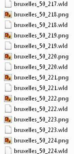
I expect that (generated with QGIS) :
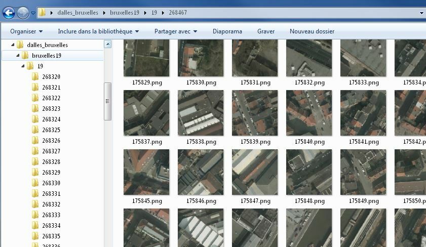


But I get only 


Any idea how to do ?


Thank you from France for your help

3 replies

fmelizard
Contributor
Forum|alt.badge.img+17
  • Contributor
  • December 30, 2013
Hi AymFR17


You should be able to reproduce this structure in FME with a combination of:


- the AttributeCreator which can be used to make attributes combining the various quadkey, zoom level, row and column attributes needed


- fanout feature type which will make files based on attribute values


- fanout dataset which will make directories based on attribute values


Looking at your screen shot I can't quite make out the scheme you are hoping to replicate. Can you tell me the zoom level and the approximate location in Sperical Mercator coordinates and I can likely give you more detail on how to acheive this.


Thanks


Ken

  • Author
  • December 30, 2013
Thanks for your answer Ken.


Here are some more informations :


- Zoom level wanted : 19 only


- Approximate location is over Brussels in Belgium, in EPSG 3857 : X 150000, Y 170000


It looks like each folder name is the column and each PNG name is the row according to this site : http://www.maptiler.org/google-maps-coordinates-tile-bounds-projection/


Thanks

  • Author
  • December 30, 2013
Nice, it works perfectly !


Thank you for your help Ken


Cookie policy

We use cookies to enhance and personalize your experience. If you accept you agree to our full cookie policy. Learn more about our cookies.

 
Cookie settings