Solved

CityGML LoD2 problem with coordinate transformation


Hello everyone,

I have a problem with coordinate transformation with data in citygml format with LoD2 and to write to another citygml file. I use CsmapReprojector, define transformation parameters XFORM_DEF and nothing. My input data is in EPSG:31277 and that is Gauss-Kruger projection and it is deprecated. I want to transform data to EPSG:4326 or 3857 or 32634 on WGS ellipsoid because i want to use 3DcityDB import/export toll.

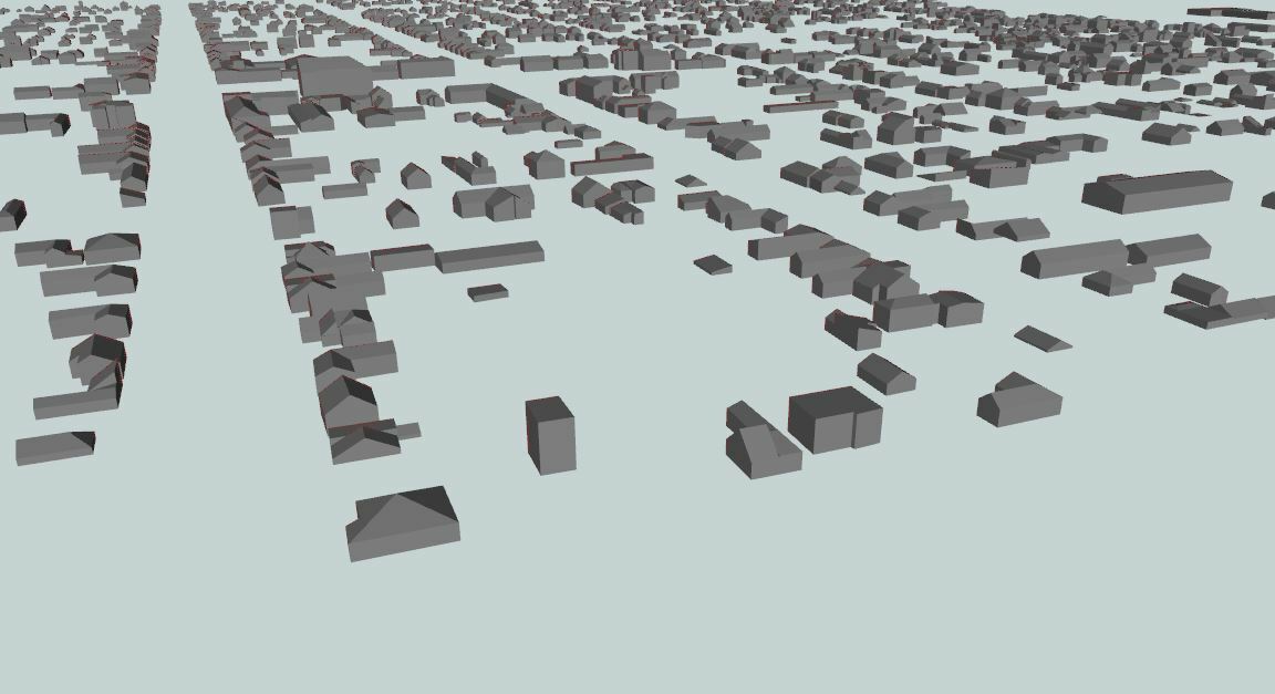
Data in input projection:

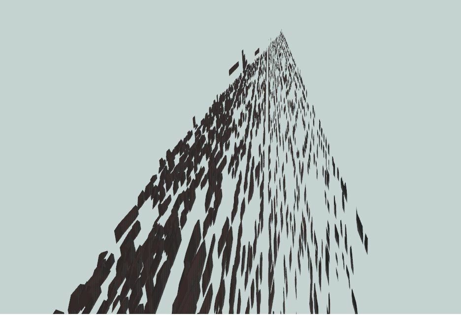
and after transformation i get this:

Best answer by daveatsafe

Hi @petar3bursac,

EPSG:4326 is a lat/long coordinate system. Converting into this will change the X and Y units to degrees, but leaves the X units as meters. Since the Data Inspector does not reproject the data in the 3D view, the lat/long data will look very distorted.

If you convert to EPSG:3857, which has X,Y and Z in meters, the output should look better.

View original
Did this help you find an answer to your question?

3 replies

daveatsafe
Safer
Forum|alt.badge.img+19
  • Safer
  • Best Answer
  • February 8, 2018

Hi @petar3bursac,

EPSG:4326 is a lat/long coordinate system. Converting into this will change the X and Y units to degrees, but leaves the X units as meters. Since the Data Inspector does not reproject the data in the 3D view, the lat/long data will look very distorted.

If you convert to EPSG:3857, which has X,Y and Z in meters, the output should look better.


daveatsafe wrote:

Hi @petar3bursac,

EPSG:4326 is a lat/long coordinate system. Converting into this will change the X and Y units to degrees, but leaves the X units as meters. Since the Data Inspector does not reproject the data in the 3D view, the lat/long data will look very distorted.

If you convert to EPSG:3857, which has X,Y and Z in meters, the output should look better.

Hi @DaveAtSafe,


Thank you! I understand. I have one more question, please. I use CoordinateExtractor, extract x,y,z coordinates from citygml file to one shapefile, and that shp file in one GIS software open,modify and do coordinate transformation. Now i have all my coordinates in one csv file in three columns, which is ordered in same way like i get from CoordinateExtractor. My question is how to specify in CoordinateReplacer in field for x, y, z coordinate for input (citygml file) that i want to replace with my columns from csv file? I try Find:@YValue(1)? Thank you!


daveatsafe
Safer
Forum|alt.badge.img+19
  • Safer
  • February 13, 2018
petar3bursac wrote:
Hi @DaveAtSafe,


Thank you! I understand. I have one more question, please. I use CoordinateExtractor, extract x,y,z coordinates from citygml file to one shapefile, and that shp file in one GIS software open,modify and do coordinate transformation. Now i have all my coordinates in one csv file in three columns, which is ordered in same way like i get from CoordinateExtractor. My question is how to specify in CoordinateReplacer in field for x, y, z coordinate for input (citygml file) that i want to replace with my columns from csv file? I try Find:@YValue(1)? Thank you!


Hi @petar3bursac


That process will only work for point features, I'm afraid. The CoordinateExtractor only returns a single coordinate, even from complex surface geometries like those in CityGML, so you are losing most of the geometry information.


FME has a number of transformers that you can use to do the desired coordinate transformation. As well as the CsmapReprojector, there are the 3DAffiner, Scaler, Offsetter and Rotator transformers.

Reply


Cookie policy

We use cookies to enhance and personalize your experience. If you accept you agree to our full cookie policy. Learn more about our cookies.

 
Cookie settings