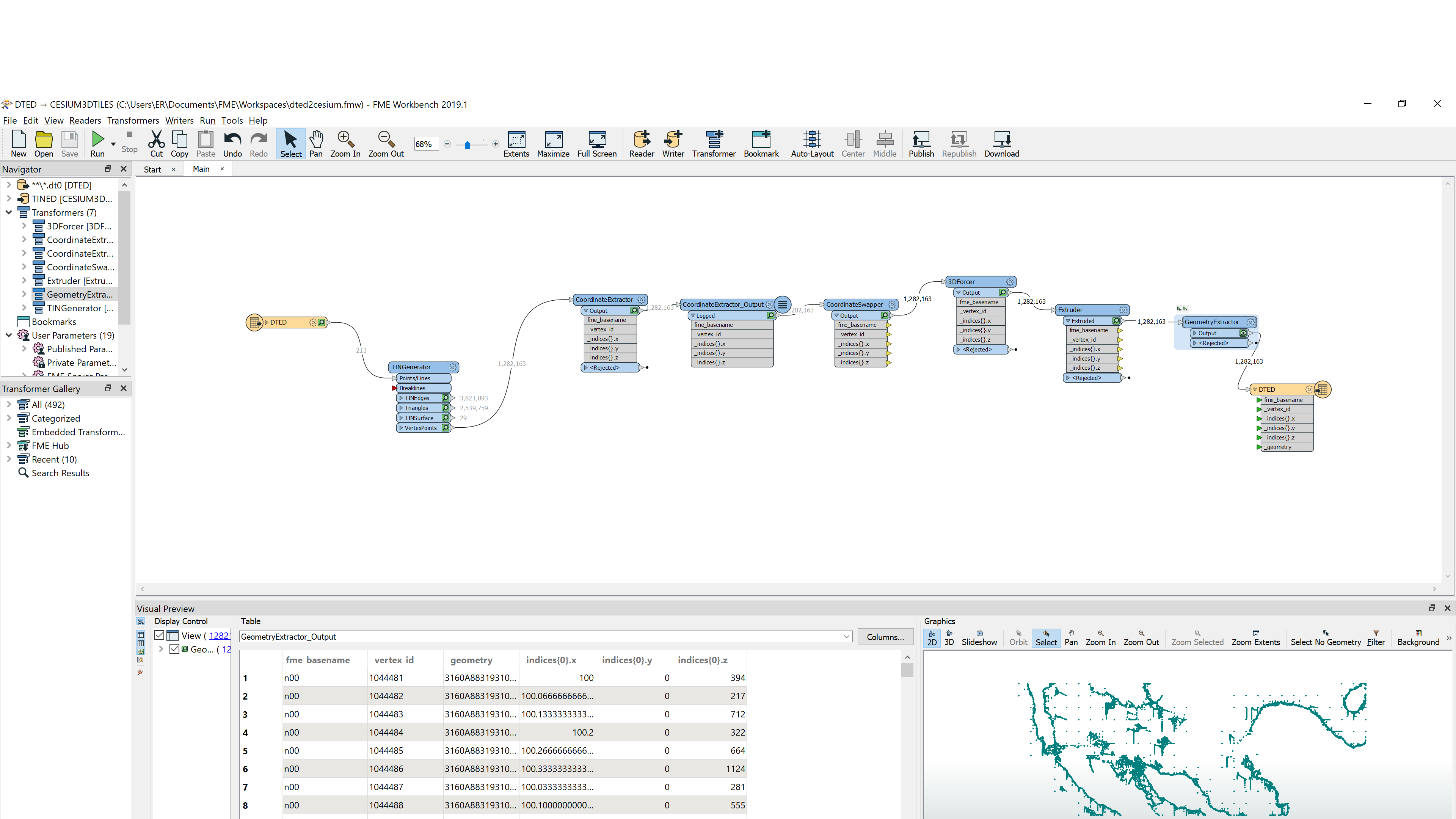
i have some sample DTED (*.dt0 and *.dt1) files that contains grids of elevation data. I like to know if its is possible to convert this data in to 3D tiles and display them in a CesiumJS map?
i tried some ways as seen in a post "How to Bring 2D Data into CesiumJS"
from @dmitribagh but my inputs are different from that. so i appreciate if anyone can share any ideas. Thanks