Hi all,
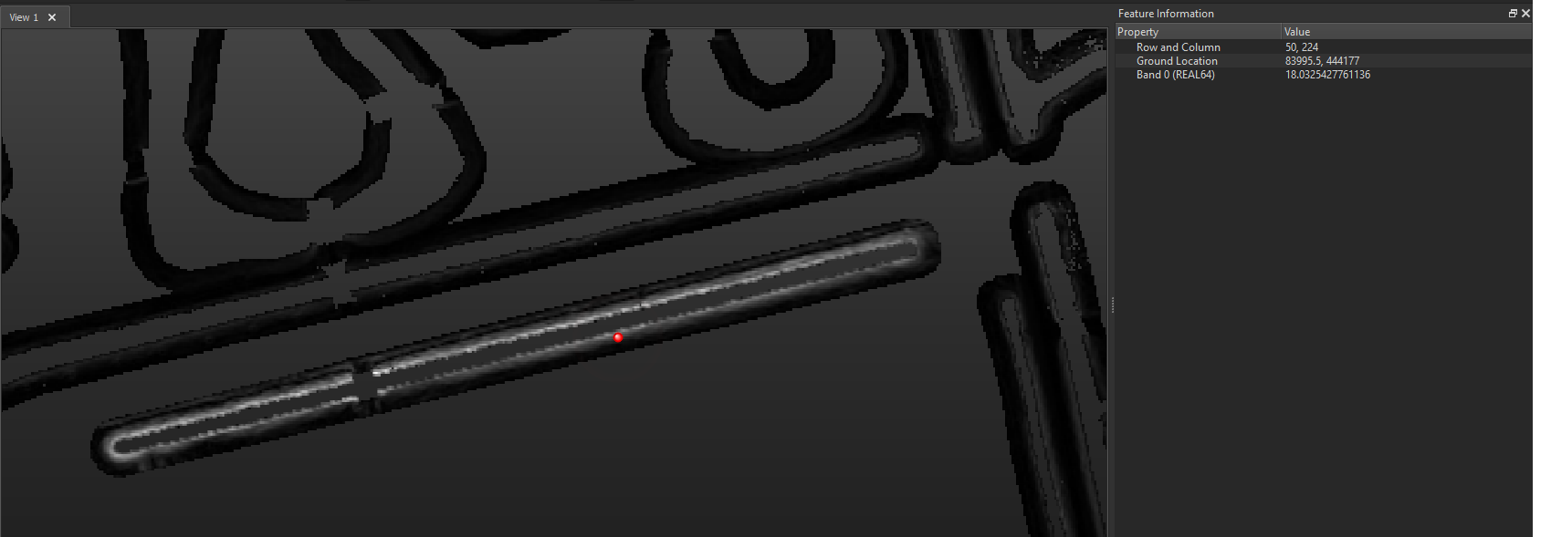
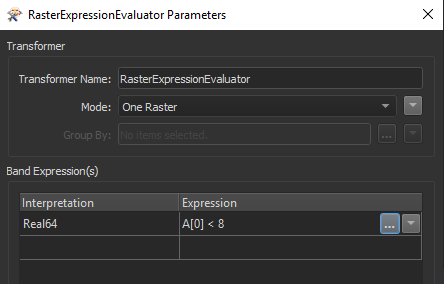
I am trying to make a .shp from the areas with a minimum slope (DEM). The picture shows the output of the RasterSlopeCalculator (its about areas around water). I need to find a way to identify the transitional value of slope where the colour white turns to black, and then filter out the black areas.
If someone has an idea, or knows if this is even possible, please let me know! :)
Thanks.