Solved

How to get overlapping shape points inside dwg boundary


sprongandre
Forum|alt.badge.img

I have a shape file with points and I would like to get the points which are inside an Autocad-boundary. I tried it with Pointonareaoverlayer and spatial filter, but every point goes to the 'failed'output :-S....It isn't rocketscience, but I can't fix it.

Who could get a look at my workbench and fix it? It would be great! :-D

This is the input:

Best answer by chrisatsafe

Hi @sprongandre,

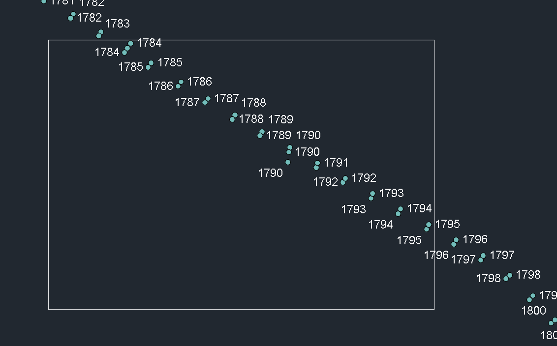
It looks like the datsets you are working with use different coordinate systems as indicated by this warning in the log:

WARN  |AutoCAD Reader: Found a coordinate system named `Netherlands-RD' in file `C:\Users\<user>\AppData\Local\Temp\wb_template_1591200116649_86348\38207-boundary.dwg', which is deprecated in FME. Skipping setting of this coordinate system

You'll need to use a Reprojector to ensure the datasets are using the same coordinate system before the PointOnAreaOverlayer or SpatialFilter.

One way to check for this is by inspecting the dataset(s) and clicking on a feature to view Coordinate System property in the feature information: https://www.screencast.com/t/GTbR2GRk6qJ

Alternatively if you want to check visually, you can inspect both datasets in the graphics view, right click on the map and click view extents: https://www.screencast.com/t/qbFxegsLjfvN

Try this Reproject_Example.fmwt

If you know what coordinate system the dwg was drawn in, be sure to set it in the Reprojector.
View original
Did this help you find an answer to your question?

2 replies

chrisatsafe
Contributor
Forum|alt.badge.img+2
  • Contributor
  • Best Answer
  • June 3, 2020

Hi @sprongandre,

It looks like the datsets you are working with use different coordinate systems as indicated by this warning in the log:

WARN  |AutoCAD Reader: Found a coordinate system named `Netherlands-RD' in file `C:\Users\<user>\AppData\Local\Temp\wb_template_1591200116649_86348\38207-boundary.dwg', which is deprecated in FME. Skipping setting of this coordinate system

You'll need to use a Reprojector to ensure the datasets are using the same coordinate system before the PointOnAreaOverlayer or SpatialFilter.

One way to check for this is by inspecting the dataset(s) and clicking on a feature to view Coordinate System property in the feature information: https://www.screencast.com/t/GTbR2GRk6qJ

Alternatively if you want to check visually, you can inspect both datasets in the graphics view, right click on the map and click view extents: https://www.screencast.com/t/qbFxegsLjfvN

Try this Reproject_Example.fmwt

If you know what coordinate system the dwg was drawn in, be sure to set it in the Reprojector.


sprongandre
Forum|alt.badge.img
chrisatsafe wrote:

Hi @sprongandre,

It looks like the datsets you are working with use different coordinate systems as indicated by this warning in the log:

WARN  |AutoCAD Reader: Found a coordinate system named `Netherlands-RD' in file `C:\Users\<user>\AppData\Local\Temp\wb_template_1591200116649_86348\38207-boundary.dwg', which is deprecated in FME. Skipping setting of this coordinate system

You'll need to use a Reprojector to ensure the datasets are using the same coordinate system before the PointOnAreaOverlayer or SpatialFilter.

One way to check for this is by inspecting the dataset(s) and clicking on a feature to view Coordinate System property in the feature information: https://www.screencast.com/t/GTbR2GRk6qJ

Alternatively if you want to check visually, you can inspect both datasets in the graphics view, right click on the map and click view extents: https://www.screencast.com/t/qbFxegsLjfvN

Try this Reproject_Example.fmwt

If you know what coordinate system the dwg was drawn in, be sure to set it in the Reprojector.

Hi @chrisatsafe, thanks for your fast answer! I thought the coordinate systems were the same because when I load them in C3D they match...but not...thanks for the explanation how to check the coordinate systems!

Only 1 question; In the reprojectorsettings> when I use 'read from feature' as source coordinate system, it doesn't work (why?). I saw you used the (right) Netherlands-RDNew-2008 system, where do you get this from? Because the file coordinate system says 'unknown'?


Thanks!


Cookie policy

We use cookies to enhance and personalize your experience. If you accept you agree to our full cookie policy. Learn more about our cookies.

 
Cookie settings