Hi all,
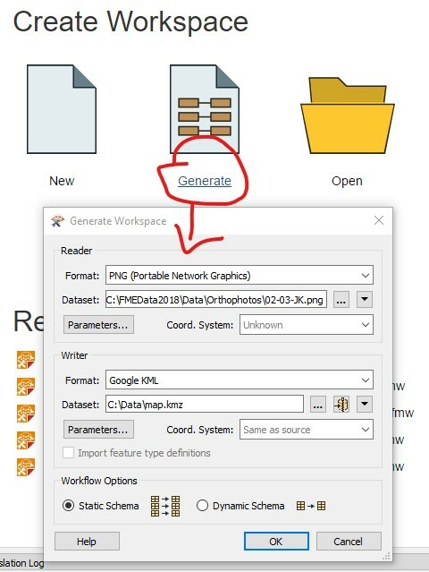
I have several PNG-files along with separate georeferenced PGW-files. How can I somehow import those to FME desktop and convert to a format compatible with Google Earth?
What I want is to make this map an overlay in Google Earth. I also have the possibility of downloading the maps in in GML (.xml), ESRI shapefile, or Mapinfo MIF/MID. Whatever works best. I just want to import to Google Earth somehow.
I'm completely new to map modelling and FME so please give a really simple solution ^^
Thanks,
Ruben