Hello,
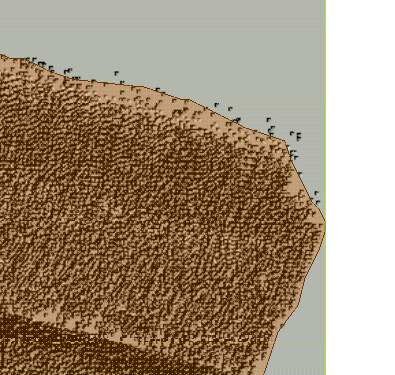
I'm searching for a way to obtain the external shape of a laz file and turn it into a line or polygon for and shp output.
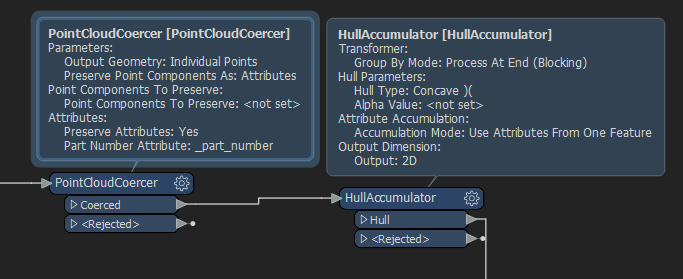
I've found something but it force me to "convert" in fme the point cloud entity to a multiple point entity. The issue with that method is that is that take a long time to process and that is not adapted to my data covers entire cities and has billions of points.
Do you have any Idea on how can I proceed ?
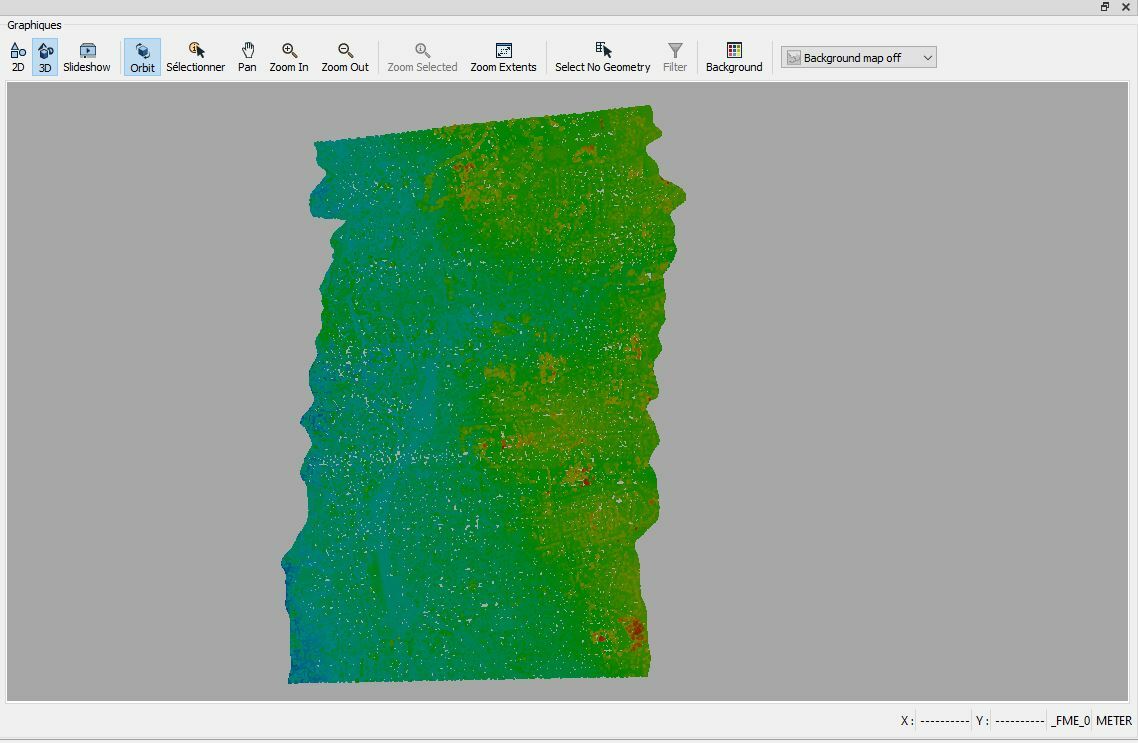
Here an exemple of the kind of data i have :