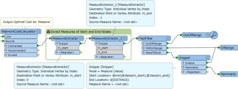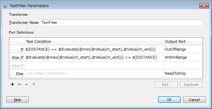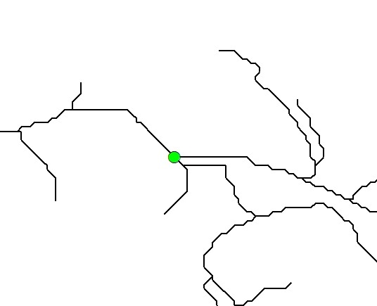
Hi, I am trying to create a service area of 2km down a road network from a known starting point. Ie select any road/or part of road within 2km of my starting point (via the road (not an isochrone)). The equivalent of ArcGIS service area. I have read and downloaded the FME "Calculate Emergency Travel Times" example but am a bit lost. Im guessing i need to use the Network Cost Calculator... Any suggestions or ways forward would be appreciated. Thanks Goatboy.