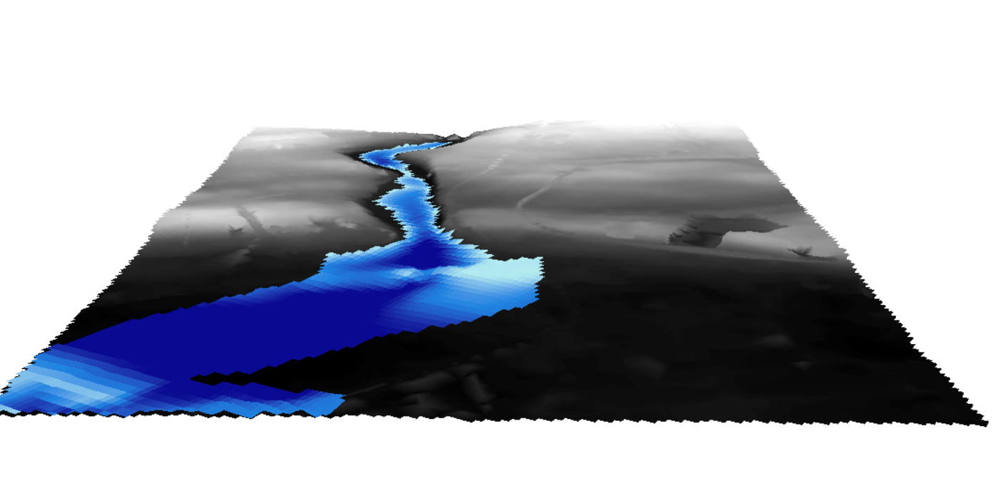
I want to visualize 2 raster (DEM) the first is for terrain elevation and the second is a dem of a flood. I want to modilise the elevation of the flood compared with the terrain elecation and I want to visulise them in cesium just like I did in Arcscene. Is there a way to that like converting them in 3d tiles or something.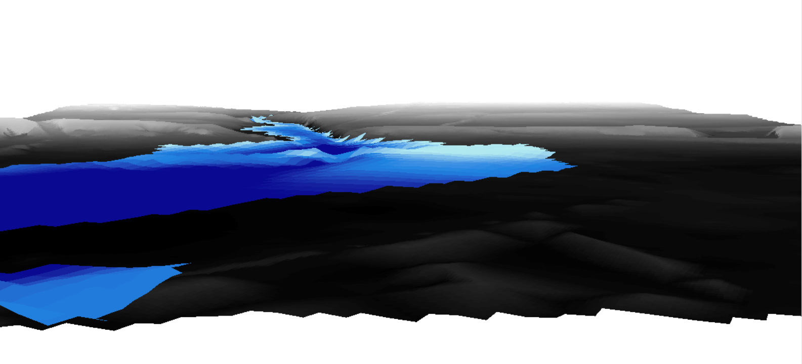

Question
Visualizing elevation of flood in Cesium


")
Reply
Helpful Members This Week


Enter your E-mail address. We'll send you an e-mail with instructions to reset your password.