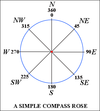
You can use the Chopper (max vertices = 2) to divide the polygon into segments, then use the HorizontalAngleCalculator to get their individual orientation, and the LengthCalculator to get their length.
Use the GeometryCoercer first to ensure the polygons become lines, otherwise you’ll end up with smaller polygons.
Also be careful with the coordinate system in use: If that is not a projected one (ie you have lat/lon instead of x/y), the angle- and length calculations will be incorrect.
Use the GeometryCoercer first to ensure the polygons become lines, otherwise you’ll end up with smaller polygons.
That isn’t necessary, the output from the Chopper will only contain lines if max vertices = 2.
Also be careful with the coordinate system in use: If that is not a projected one (ie you have lat/lon instead of x/y), the angle- and length calculations will be incorrect.
@david_r could you please explain how output of the angle and the azimuth from the Angle calculator will give me the orientation , Est ,West ,North and South
Thanks
The azimuth values increase clockwise from the reference point of north (which represents zero degrees). So you could e.g. say that _azimuth values in the range 315-45 = North, 45-135 = East, etc.
We use 3 different kinds of cookies. You can choose which cookies you want to accept. We need basic cookies to make this site work, therefore these are the minimum you can select. Learn more about our cookies.