Hi,
End Goal: To have my FME server have a workspace where a user can draw a polygon shape, and FME provide a ZIP file containing all watermains within that polygon shape area.
I have a workspace (attached) that reads an ArcGIS Online Feature Layer (water mains), and i am attempting to use a set of coordinates as GeoJSON to clip this selection and output the selected areas water mains.
I have been using this tutorial as a guide - https://s3.amazonaws.com/gitbook/Server-Authoring-2020/ServerAuthoring3SelfServe/Exercise3.html - but I am unsure how to get the coordinate systems to match.
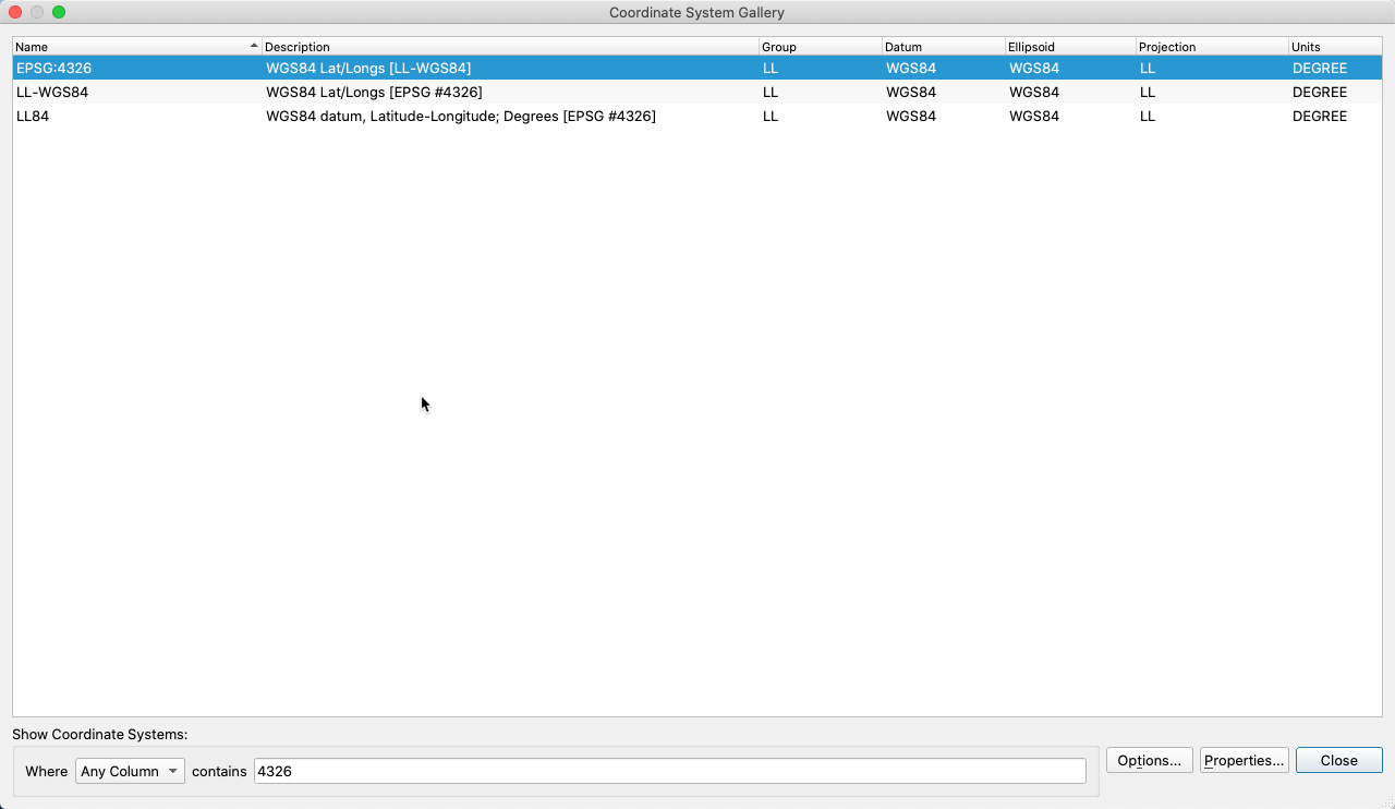
I understand the two items (the user input and watermain feature layer) need to be in the same coordinate system in order for the clipper to work, and I have no idea how to achieve this with these two data sources.
I created a parameter (similar to the screenshot) with a default which is surrounding our local city:
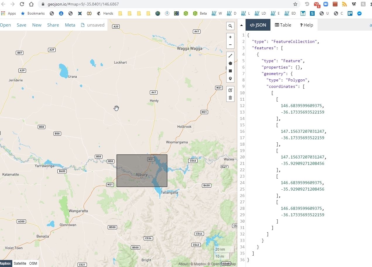
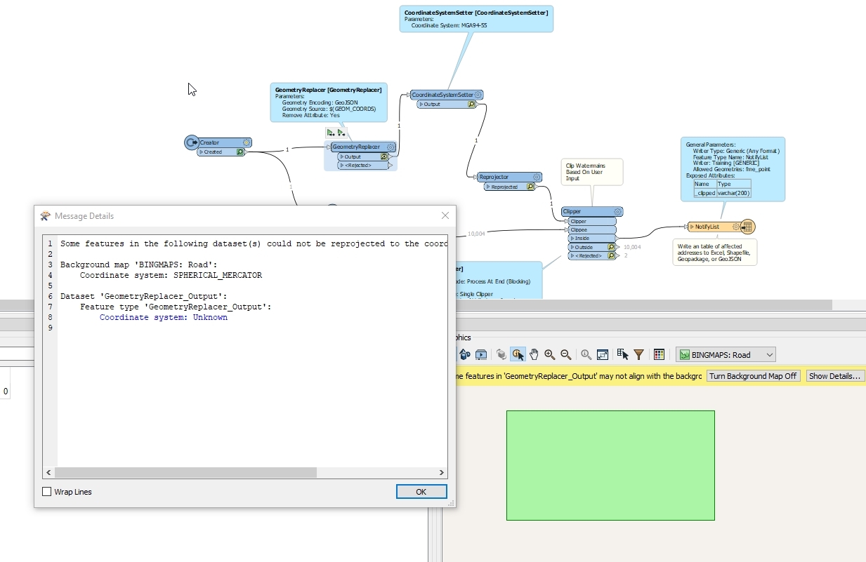
If I use the Visual Preview to inspect the 'geometry replacer', which is using my manually inputted coordinates, it is showing the correct 'shape', but is showing "coordinate system: Unknown"
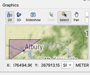
And if I try the Coordinate System Setter and Reprojector as the tutorial does, it completely screws with the clip area I am trying to use:
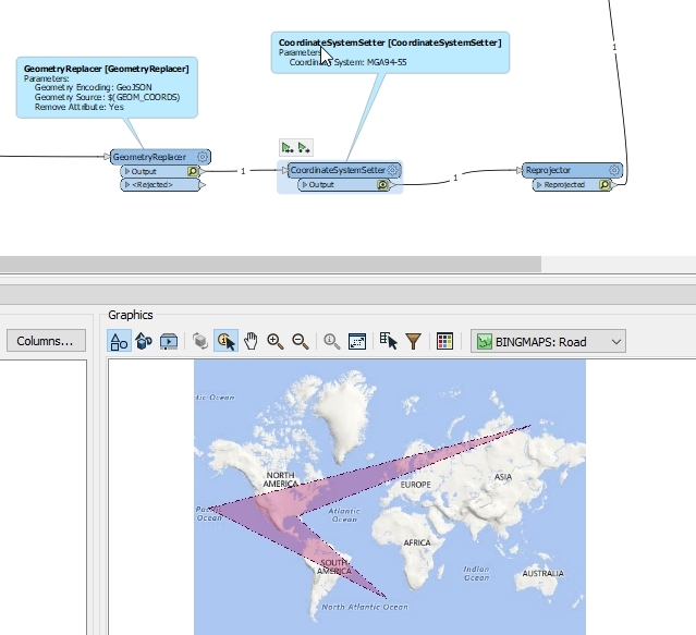
I am completely lost. I was thinking this would be straight forward as the tutorial shows, but I am left scratching my head!
Thanks for your time.


