I am trying to download all rasters from a recent USGS LiDAR Project. The files can be found here: The National Map (prd-tnm.s3.amazonaws.com)
Is there way using FME to download all the files in this folder to my local machine?

I am trying to download all rasters from a recent USGS LiDAR Project. The files can be found here: The National Map (prd-tnm.s3.amazonaws.com)
Is there way using FME to download all the files in this folder to my local machine?
Best answer by redgeographics
Unfortunately that list is Javascript generated, so the HTTPCaller can't get to it.
You could manually copy and paste the list into a Text file, then read that and construct the url from the filename, then use HTTPCaller to download the files. Unfortunately that's not a very dynamic workflow so if this is something you need to do on a regular basis it's going to be cumbersome.
You could try the S3Connector, but you'd have to know the bucket name and region.
No account yet? Create an account
Enter your E-mail address. We'll send you an e-mail with instructions to reset your password.


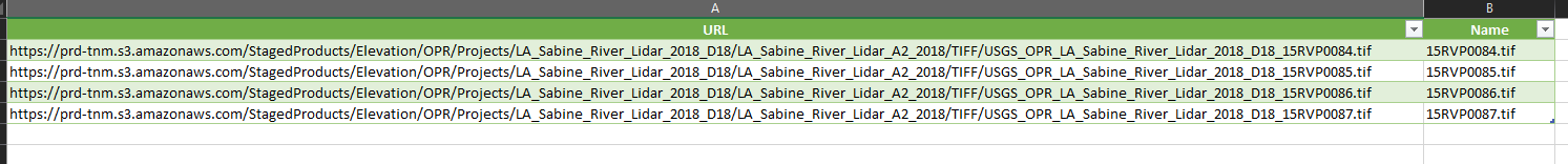 Okay thanks. I was able to copy paste the HTML data into a text file and do some REGEX to create a table with the URL and file names.
