I'm looking for some clarification regarding the difference between inspecting source data and cached data. This is specifically looking at cached data on the reader. I have always expected these to be the same, but a recent discovery has shown me that, from a geometry perspective, this is not always true. 
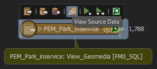
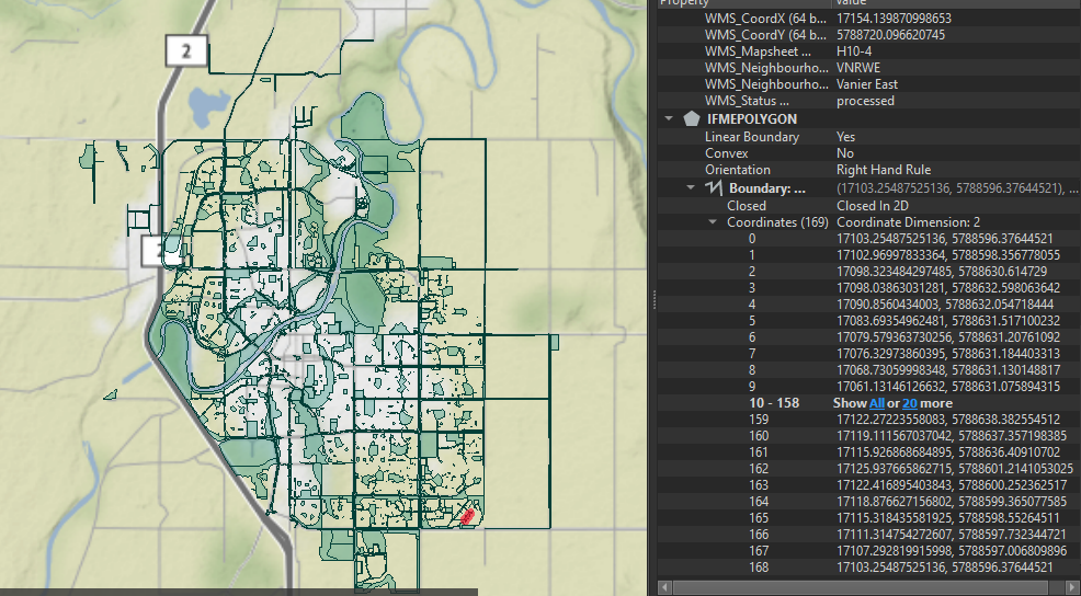
When I inspect this source data, either by clicking on the button on the reader or opening it directly in Inspector, I get what's shown here.  Everything here on the map looks correct. Although, the IFMEPOLYGON geometry shows as only point coordinates, which I know is not true (there are arcs).
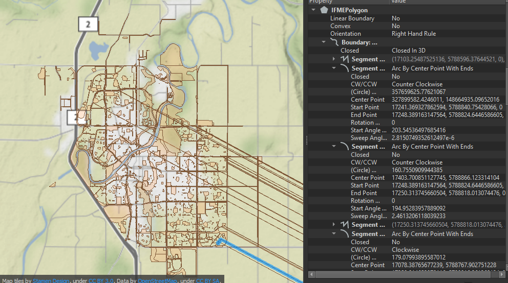
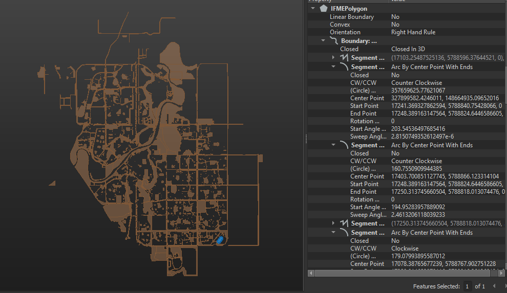
When I inspect the cached data on this same reader, I get what's shown here. There are numerous geometries that extend to lat/long 0,0. Also, the IFMEPOLYGON geometry now shows many segments, arcs and paths. Which is expected, as this more reflects the true geometry. Furthermore, when I view this with the background map (Stamen:terrain) turned off, none of the anomalies show up on the map, despite the IFMEPOLYGON geometry remaining the same.
I am using an Intergraph Geomedia SQL Server Warehouse reader for this. I know where the issues are in the geometry, and I know by correcting these bad coordinates, I can fix the geometry. My questions are more around why this happens in the first place and how it will affect my workspaces if they are not fixed:
- Why are these two different? I'm guessing the main thing here is that the view source data is reading directly from the database, whereas the cached data is reading from an ffs file. Can someone please confirm this for me?
- Why does the source data only show with coordinates, when there are arcs in the geometry?
- Will this data with anomalies affect it as it progresses through other transformers in a workspace?
- Why does the background map in Inspector affect how this data appears?
I hope someone can help educate me, as I've had some truly baffled moments around this.


