Dear FME community,
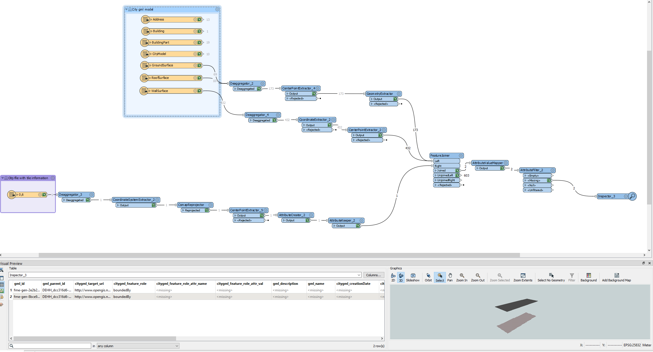
I have a question dealing with citygml files. I have several hundred xml-files formatted in citygml. These xml-files have information of the buildings of a city stored in them. It is a 3D model of the city in the level-of-detail 2. So there are ground-surfaces, wall-surfaces and roof surfaces of the buildings stored. Each surface has the right coordinates. A group of 4 xml-files will create one tile with a size of 2x2 km. I want to create my own tiles and decide by myself what size I want to use. So I have loaded all xml-files inside FME and I have managed to create obj-files with small circles. Each circle represents the center-point of a ground-surface. For the tiling process I extracted the center-points and tiled the resulting point-cloud using the “tiler”-transformer. Later I placed a circle on each point with the “bufferer”-transformer since I could not export the point-clouds. Then I created the obj-files.
Now I wanted to combine the information of the obj-files with the information of the original xml-files in order to sort out all the unnecessary rows of the xml-files and then visualize only the buildings that are sitting on ONE SINGLE tile.
This works perfectly for the ground and roof-surfaces but not for the wall-surfaces. It seems that something is different with the wall surfaces, but I could not figure out what. The center-points are also stored inside the wall surfaces.
Maybe someone has a different approach when it comes to tiling the citygml file.
I would be very thankful, if you could help me with this problem.
Thank you very much in advance
With kind regards
Christian Lendl
 here you can see how FME renders the ground surface and the roof surface, but not the wall surfaces.
