Hello,
How can I convert an ASCII file to xyz csv file please?
Thank you


Hello,
How can I convert an ASCII file to xyz csv file please?
Thank you
Best answer by redgeographics
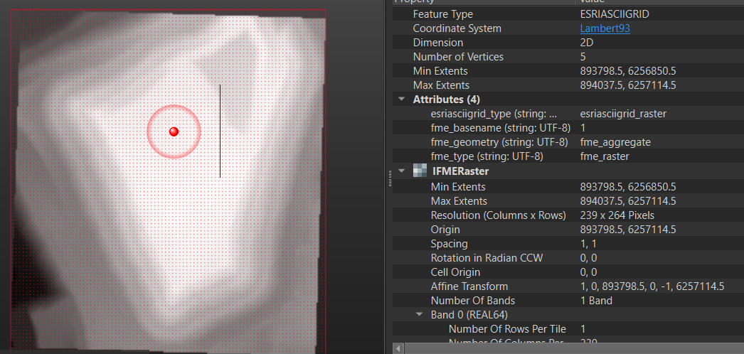
You could use a RasterCellCoercer to generate a point for every pixel and assign the band value as to an attribute automatically, then a CoordinateExtractor to get the x and y values too and write them out to a CSV file.
Alternatively, you may even get away with writing directly to a Point Cloud XYZ file.
No account yet? Create an account
Enter your E-mail address. We'll send you an e-mail with instructions to reset your password.


 Thank you!