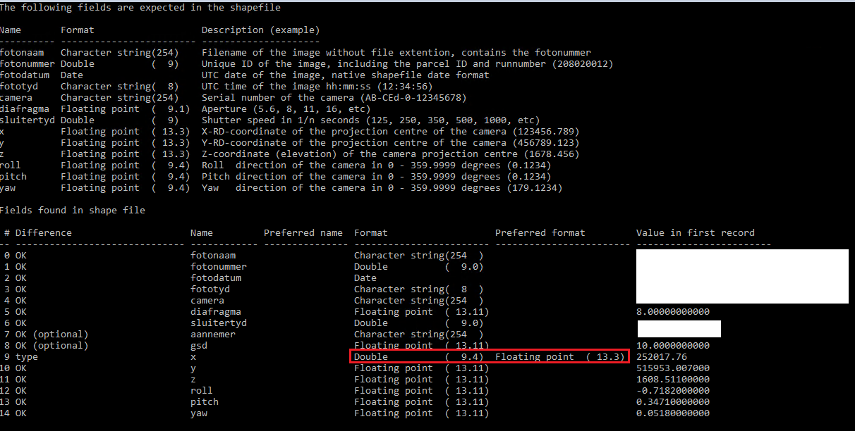
I am looking to convert csv files to point shape files. Each attribute in the shape files require a specific format. Character string, date and double format all create as expected. The trouble comes with the attributes that require to be set as floating point. FME always defaults the floating point width/precision to 13.11 which adds additional zeros on to the values when viewing the attributes in the shape files.
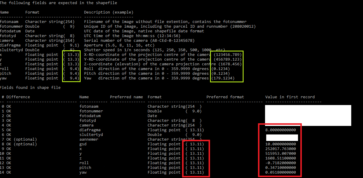
In this case the attributes required to be floating point are x, y, z, roll, pitch and yaw of aerial image photo-centres. Ideally the floating point width/precision needs to be 13.3 for XYZ and 9.4 for roll/pitch/yaw.
The image below shows our validation tool used on the shape files output from FME. With expected fields at the top (green highlight) and fields found in the shape file below (red highlight):

The additional zeros are not seen when viewing the shapefile in FME Data Inspector 2019.1, however they are visible when viewing the shape file in other GIS packages such as ArcMap, ArcPro and QGIS.
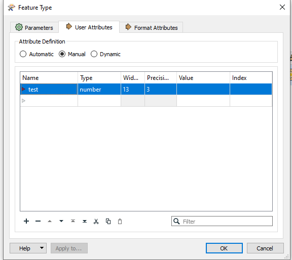
When creating float attributes in FME, the width precision columns are greyed out and reading through the documentation, unless I am mistaken, it seems that float width and precision default to 13.11 and cannot be edited.
Has anyone any thoughts as to how this issue might be addressed within FME?


