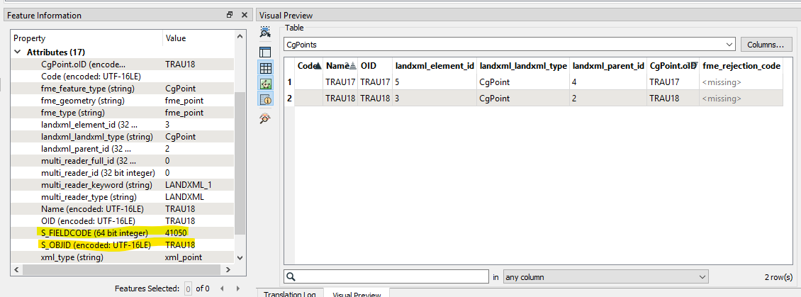
I have some LandXML files containing points (CgPoints) and lines (PlanFeature) with some attributes. As per the LandXML schema, the <CgPoints> are defined with the coordinate geometry as a <CgPoint>, and the attribute information as <Feature> with properties:
  <CgPoints>
    <CgPoint name="TRAU201" code="" oID="TRAU201">1256922.890706 84309.502725 165.818283</CgPoint>
    <Feature code="Gemini attributes">
      <Property label="S_OBJID" value="TRAU201"/>
      <Property label="S_FIELDCODE" value="41050"/>
    </Feature>
  </CgPoints>
What I am struggling with is to read the Feature information. The LandXML reader gives me an option read both CgPoints and CgPoint, but not Feature. CgPoint will give me the name, code and oID above, but my Feature attributes are not there... I need to extract the "S_FIELDCODE" value along with the geometry, but how?


