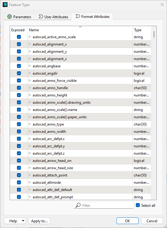
I have a DXF file that consists of multiple geometries and attributes. I want to convert this DXF file to a file geodatabase with multiple layers based on each geometry type in the DXF. The different layers also need to retain the same attributes as the DXF files. I attached the file as a zip to this post.
I tried loading the DXF file in FME using the Autodesk Autocad DWG/DXF reader and splitting the geometries using a GeometryFilter. That worked fine. However, the attributes disappear when I read the DXF file in FME. Do you have any suggestions on how to retain the attributes of a DXF file when reading it in FME and converting it to a GDB? The data was gathered with a Leica gs18T in case that helps.


