
Hi All,
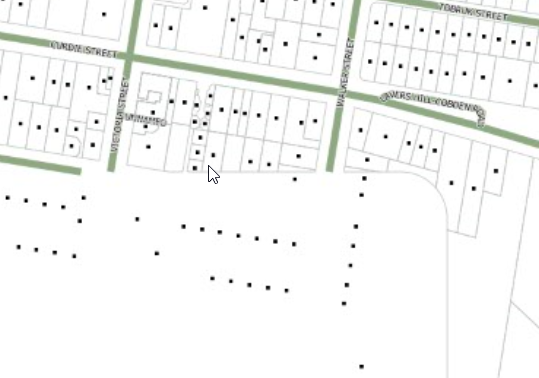
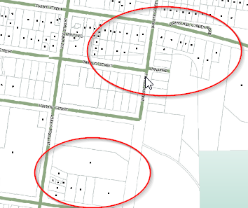
I'm trying to create a series of basic maps to illustrate address points which are broken into clusters. The cluster size range from 16 to 600, some clusters are beside each other in built-up-areas.
When processing each cluster it seems the extent(or boundbox) of each map clips layer data in overlapping areas. Can anyone suggest what i may be doing wrong? or another approach.
Many thanks
Kieran