
I have 1000 LAZ files and need to create a grid of the extents including the file name attribute. What would be the easiest method do carry this out?

Question
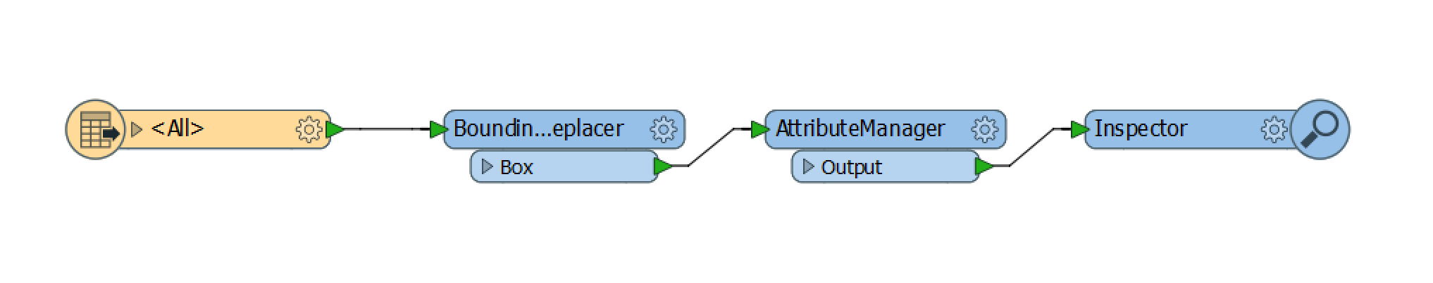
What is the simplest way to create polygons from the extents of a LAZ file?
This post is closed to further activity.
It may be an old question, an answered question, an implemented idea, or a notification-only post.
Please check post dates before relying on any information in a question or answer.
For follow-up or related questions, please post a new question or idea.
If there is a genuine update to be made, please contact us and request that the post is reopened.


Login to the community
No account yet? Create an account
An FME Account is required to contribute
LoginEnter your E-mail address. We'll send you an e-mail with instructions to reset your password.