


Hello FME-rs
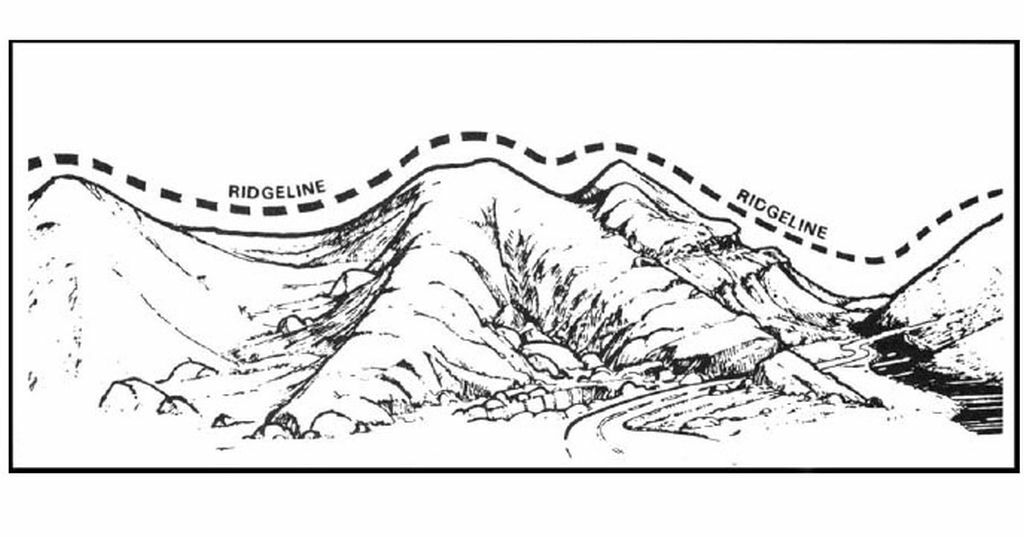
Has anyone had success generating Ridge Lines (a line formed along the highest points of a mountain ridge)?
It is the area of higher ground separating two adjacent streams or watersheds.
I am aware that FME can generate surface model with various components (TIN, triangles,tin edges, tin surface, contours etc) from elevation data.
My interest is only with Ridge Lines from the DEM or Surface Model.
Any ideas are welcome.
Thanks
SRG


