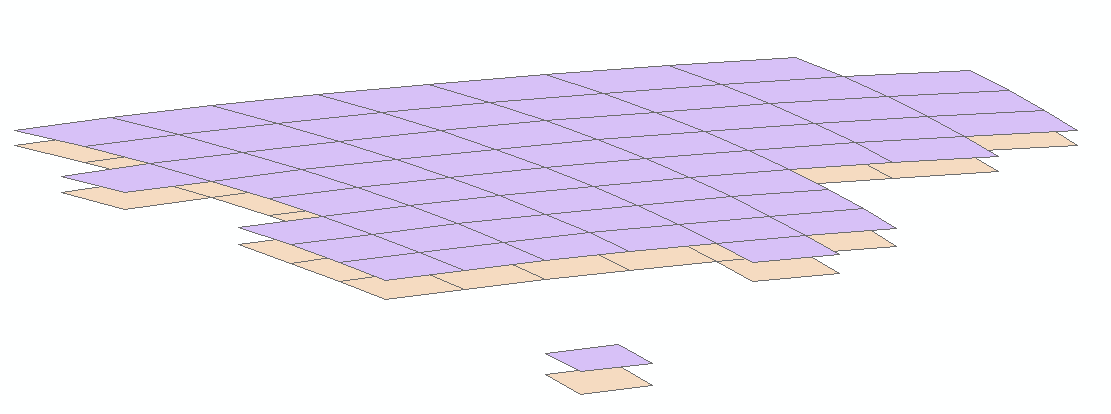
Cheers!


I'm having a hard time trying to reproject som Icedata from NSDIC using FME. The data is shifted a bit too far south as the following discussion thread also seems to end with:


https://groups.google.com/forum/#!msg/fmetalk/ekh0-juHPiM/8I5UqSzq0nIJ


I tried the same suggestions and so far seeing exactly the same issue as Karl did.


I really would appreciate any help on this matter in order to get my workspace done. Reprojection seems to be ok using Arc Toolbox BTW!


Regards Stian

I'm also trying to define a custom coordinate system for ESPG:3413.  My custom projection definition is:


COORDINATE_SYSTEM_DEF WGS_1984_NSIDC_Sea_Ice_Polar_Stereographic_North\
DESC_NM "NSIDC_Sea_Ice_Polar_Stereographic_North"\
PROJ PSTERO\
UNIT METER\
DT_NAME WGS84\
PARM1 70\
ORG_LNG -45\
ORG_LAT  90\
X_OFF  0.0\
     Y_OFF  0.0\
GROUP CUSTOM
but the data is offset 35-45 km to the North


0684Q00000ArKC0QAN.png


Hi @jdh,

Please try using the PSTEROSL projection in your coordinate system definition, leaving the other parameters the same, and let me know if the fixes the offset for you.


Hi @jdh,

Please try using the PSTEROSL projection in your coordinate system definition, leaving the other parameters the same, and let me know if the fixes the offset for you.

It gives the same results as PSTERO.


I'm attaching the data. My eventual goal is to work with the corresponding rasters.


arcticdem-tile-index-rel5.zip


Reply