I read in map drawings that have the coordinate system defined. There are many files so they have multiple systems (mostly state plane but still varied systems)
I have opened the dwgs and they have a coordinate system defined correctly in AutoCAD Map 3D. I have also used the geomap command and they are all correctly located in the state plane cs they say they are in.
I use the csExtractor then a test filter to test for whether there is a CS defined. Then near the end prior to writing to fgdb I have CsmapReprojector to reproject the data (with read from feature) to LL84.
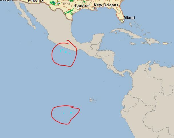
After the wb completes successfully i open the fgdb to find that (only some) of the data has been reprojected too far south of the US.
In reality they are not IN south america. but they are south of Mexico in the ocean. (see screen shot) The only thing i can find going wrong is that the original cs is TX-SC which gets read in as TX83-SCF. so the nad27 gets read as nad83. but even creating a new wb and reading just the offending file and transforming it still results in floating (or sinking) data.
And if i manually transform the drawing to tx83-scf and then run it through the same wb it works fine.


