There are probably other ways to do this, but the first thing that comes to mind is the following workflow:
1. Feed your pointcloud into a NumericRasterizer.
Since your pointcloud only contains roofs, this should result in a raster in which only the cells that are within the locations of your roofs will have a Z-value.
2. After the NumericRasterizer, use a RasterToPolygonCoercer.
This results in a polygon for every raster cell with a unique Z-value*.
3. After the RasterToPolygonCoercer, use a Dissolver to only keep outlines of the buildings.
* Depending on the size of your data and the chosen resolution within the NumericRasterizer, you might end up with a lot of cells. If you're only interested in the outlines of the roofs (and not the heights/height differences), you could use a RasterCellValueRounder and round the cell values to 0 decimals before getting your cells into the RasterToPolygonCoercer. This will significantly decrease the amount of unique Z-values and therefore decrease the amount of polygons being built.
Thank you then I will try this :)
Hello
I`ve tried a little now and the process works until I get to the writer part.
I want to write oute polyline/vektorlines and hawe a quite trubbl with that. I tryed SOSI/GML format but her is up to 50 different attributes so it is qute hard to figure oute wicth of them and then I was wondering if is not an easier writer to use.
I also tryed the transformer <AreaBuilder> but it is very similar to the <Dissiolve> function, so to change this I do not know if made any difference.
Hope you hawe I way around this proplem.
Thanks
Gunnar
Sorry, I'm having trouble understanding your question. Are you wondering how to convert the polygons to lines? Or are you asking which format you should write the data to?
I am sorry for my confusing question.
The format is not so important I hope (depends on Gemini Terrain 16), anyway that I will figure oute later.
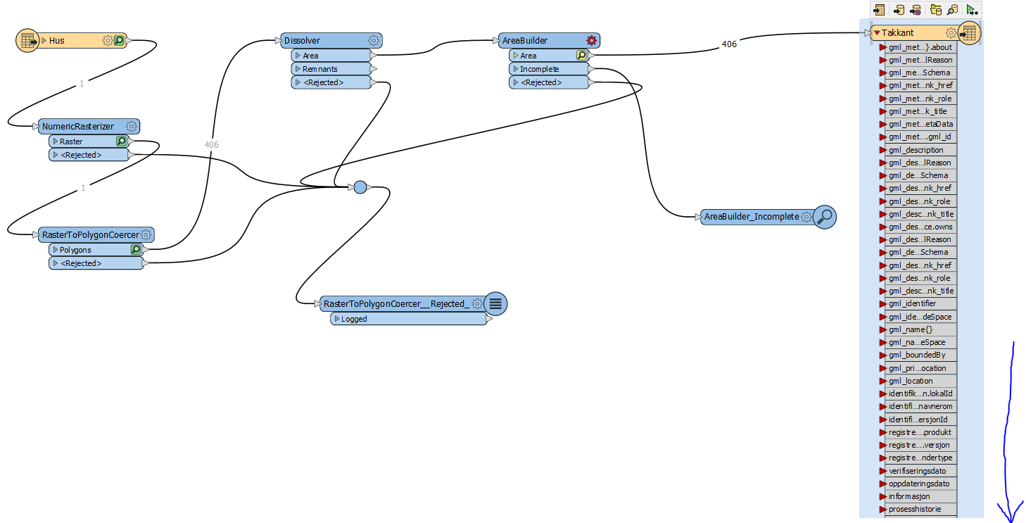
I am going to use Gemini Terrain 16 for comparison with the orginal data FKB-SOSI (norwegian format) and the new I will make in FME. So what I ned FME to do is writeing vektor-lines that follow the edge of the roof (takkant), but still I did not get it to write anything. I can see in the other boxes that somthing has happend. The <NumericRasterizer> do what it should, same with the<RasterToPolygonCorcer>, then <Dissolver> it is sending something but here maby some setting is wrong.
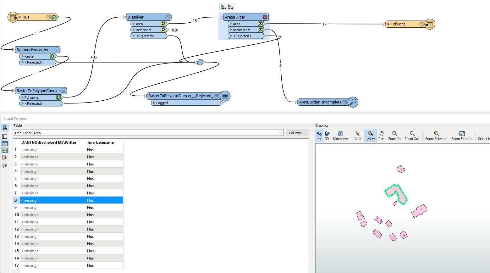
The picture show I also put in <AreaBuilder> but it dosent work yet, I will try some more settings and se what happend.
Here is an picture of the result after some adjustment and there are somthing that appear but my writer map is empty.
What are your outputoptions? Do you choose polygons?
Hello
I want to thank you for your help it set me many step ahed. Now I changed my writer to shape-writer and it works (there are som more transformers also) so I am happy
Best regards
Gunnar