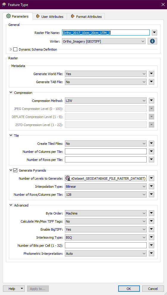
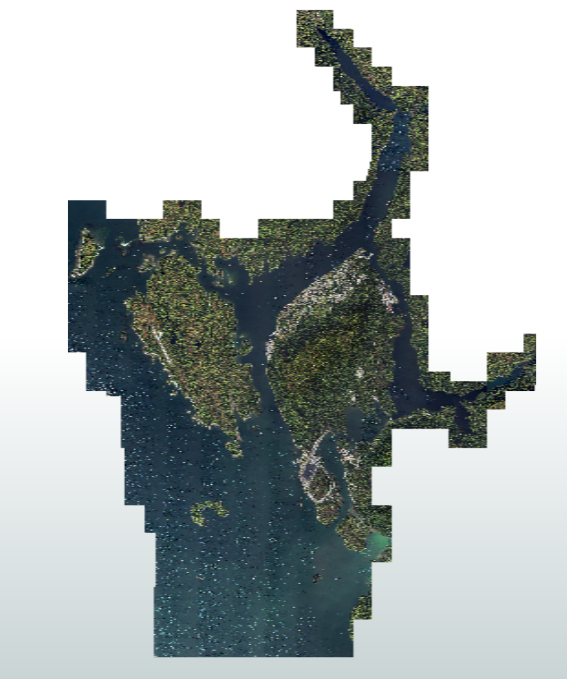
I have an orthophoto in ESRI GRID format stored in a file geodatabase. It works really well in ArcGIS and ArcGIS Pro; however, I need to convert this image into a GeoTIFF for a contractor that does not have an ESRI based GIS. I have tried to do this in ArcGIS Pro but I keep running into resolution and grainy output problems, and the documented fixes and remedies are not helping.
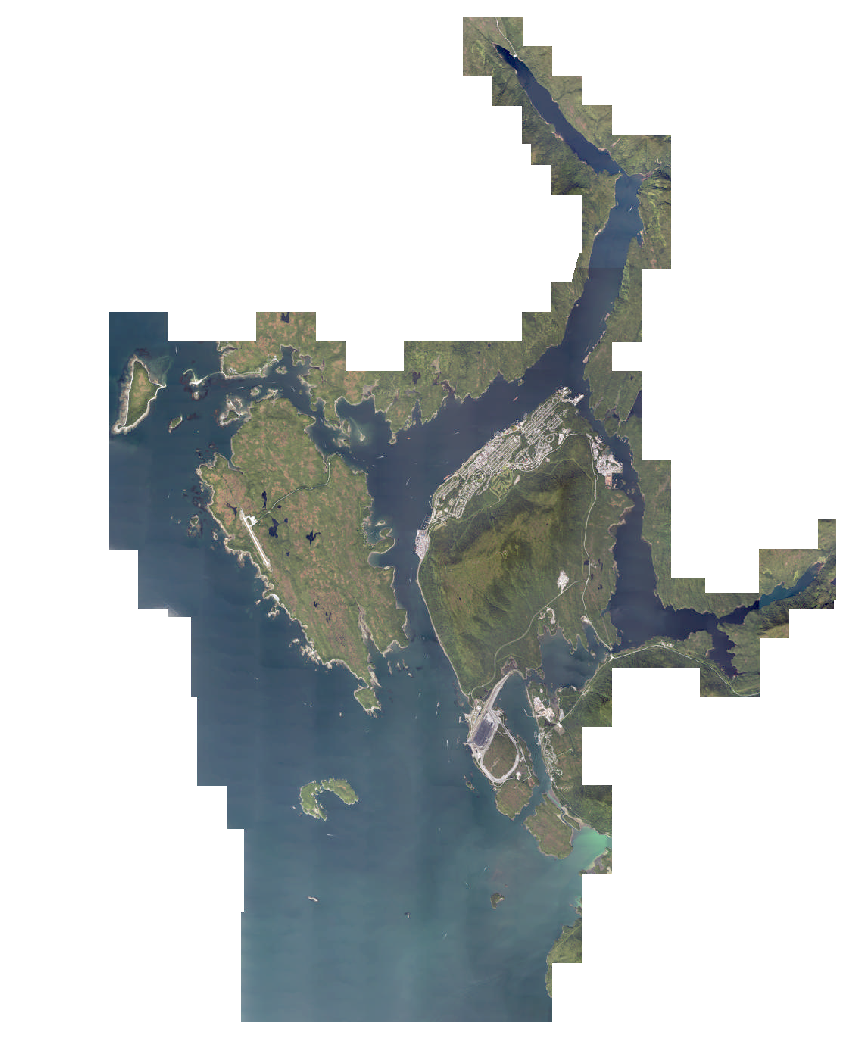
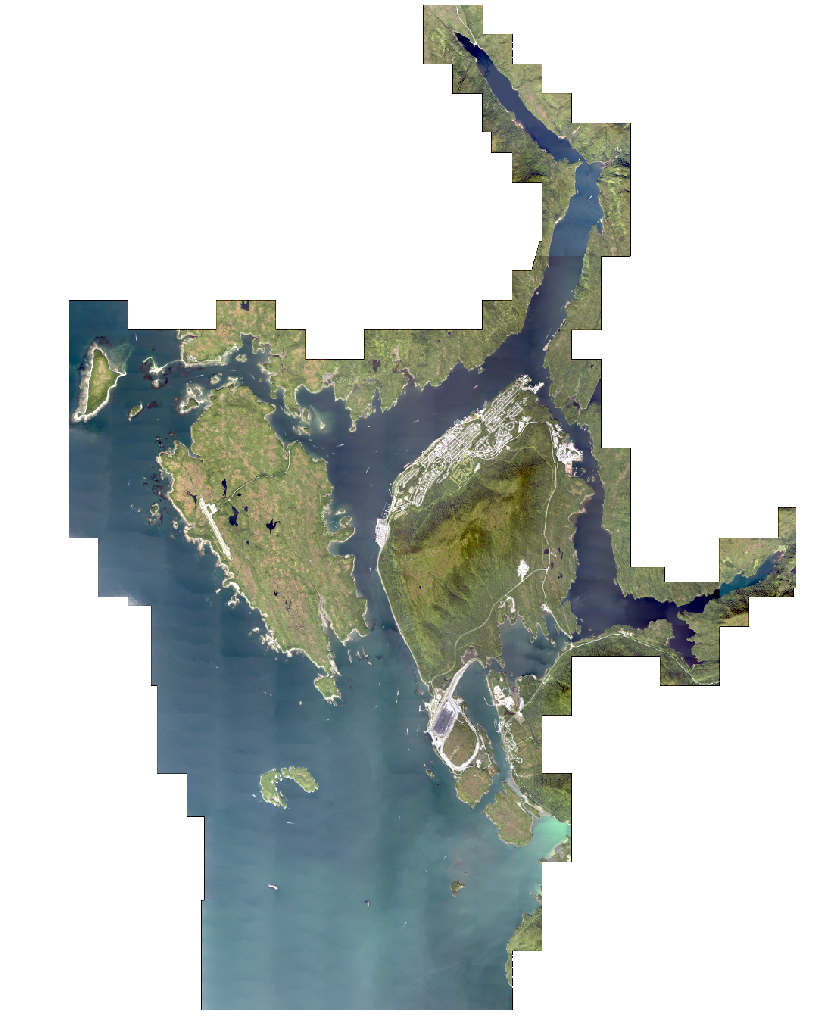
As I have FME Desktop, and I have seen that FME is capable of converting raster imagery from one format to another, I thought I would give that a try...but now my output is even worse than before.
Not being one to give up I thought I would come here to see how I should approach this using FME. Is there a trick to converting raster images? I thought it would be something quite straight forward (e.g. Geodatabase raster reader --> TIFF writer), but obviously the process will be a little more complex than that, at least this is my current thinking.

What is the best way to convert an image from one format to another using FME?
Thank you