Here is the basic outline of what I'm trying to figure out
1. clip raster to polygon (a rectangle shape)
2. clip points to same polygon shape
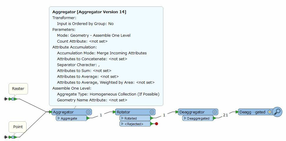
3. rotate both (points and raster) the same degree, i.e 30.5
4. output is PDF
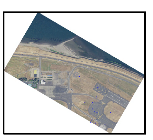
Where I'm getting stuck is everything is working fine until I try to rotate the raster- the imagery rotates correctly but it rotated in the wrong location?: I have examples to help explain-
When I add the boundary of the clipped imagery is shows that the rotated points and rotated imagery are not lined up:

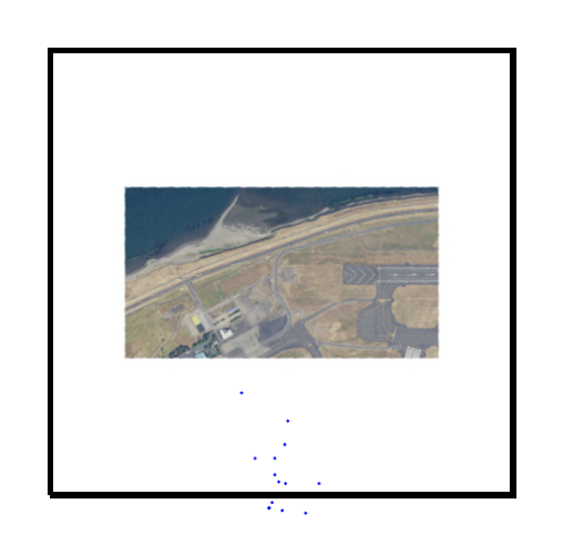
This is what it looks like before I rotate the data: everything is nicely lined up:

Any help in rotating this raster will be great!


