Question

Generate Polygon Attributes from Raster Data

  • January 15, 2015
  • 3 replies
  • 34 views

dilip
Contributor
Forum|alt.badge.img+2
  • Contributor
Hi,


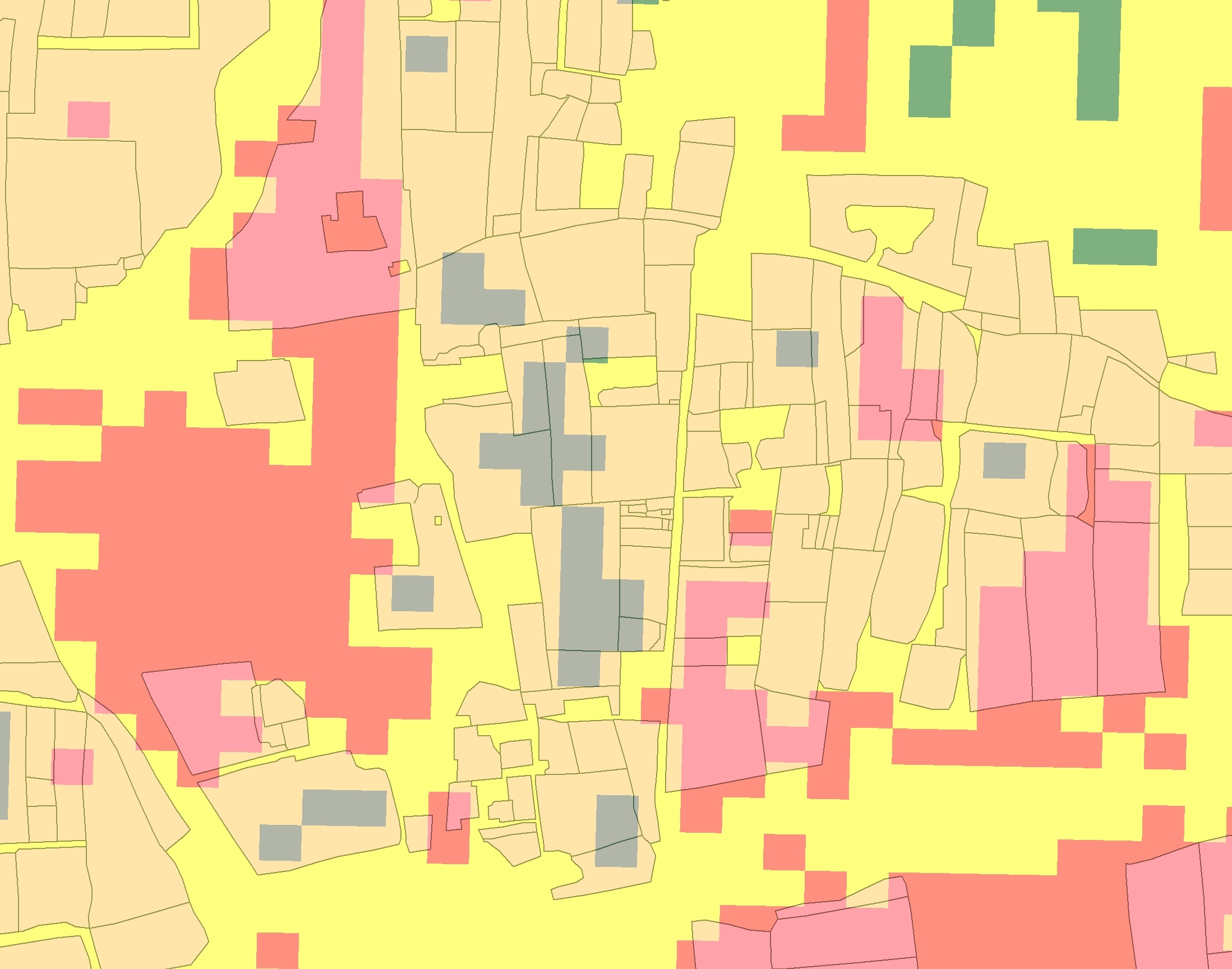
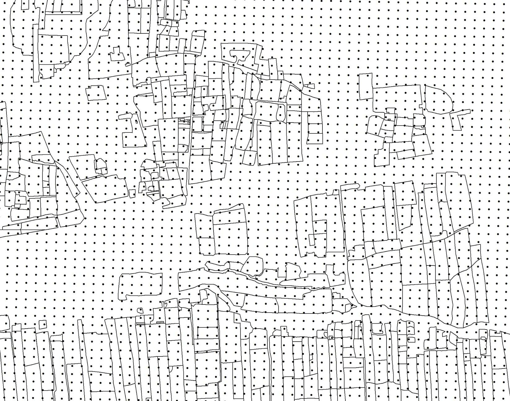
I am looking to generate attributes for polygon data (Land Parcels) which will be extracted from a supervised/unsupervised classification using imagery. There are many tens of thousand polygons, and doing this namually will be painful. I am looking to use the majority pixel rule to upload a single attribute to each poly, and then remap this value to land cover type , Wheat, Vineyard, Orchard etc.


Any help with this will be greatly appreciated.


Regards

3 replies

fmelizard
Safer
Forum|alt.badge.img+18
  • Safer
  • January 15, 2015
HI,


I would look into using the RasterToPolygonCoercer, but the pitfall is that the pixel values from the classification will probably have too mach variations in the values to form nice polygons.


So it will work with nicely classified rasters, otherwise some sort of aggregation or pixel values replacement should take place.


gio
Contributor
Forum|alt.badge.img+15
  • Contributor
  • January 16, 2015
Extract  raster pallette and get statistics form that. It gives a count and also the rastercoordinates.


Else you maybe can create a pallette for that..


Take care to make it large enough to hold all values. (you can extract this info as well, all used colourvalues)


Create required attribute as wel as an x,y coordinate for this extracted majority. Then relate this to the polygons.


Majority pixel rule might not suffice, you probably need ranges (wich a pallette has). (though that depends on the imagery, wich i have no knopwledge of, of course. I somehow don't asusme they are binary.)

dilip
Contributor
Forum|alt.badge.img+2
  • Author
  • Contributor
  • March 24, 2015
Hi All,


Thanks for your answers, still having trouble with this, basically what i am trying to do is the following.


1. Land Parcel polygons are generated from sub meter imagery by digitising the polygons.


2. Crop Classification is carried out using Photo Interpretation and manually added. I can either use Erdas or ArcMap to collect a rapid raster classification layer, but how to get the information into the polygon dataset is difficult. For Example:


Image 1. Shows the polygons over a reclassed NDVI Extract showing Green-Good Crops Vigour, Yellow-Moderate Crop Vigour, Red-Poor Crop Vigour.


 As you can see, if I convert the Raster to Points, I can extract the Information I need, but it only selects the last point it reads, there could be many points in each polygon, what I need to do is look at the majority points of the same value, and then add that value to the polygon, the same applies to the above original question.


The idea is to select all points in a polygon, add the value of the majority of points, So if a polygon had 10 points in it, 7 had a value of 3, 2 with a value of 2 and 1 with a value of 1, the polygon will get the majority value, which would be 3.


I hope this helps everyone understand what I need to do, as always all the help is very much appreciated.


Many thanks in advance.

Cookie policy

We use cookies to enhance and personalize your experience. If you accept you agree to our full cookie policy. Learn more about our cookies.

 
Cookie settings