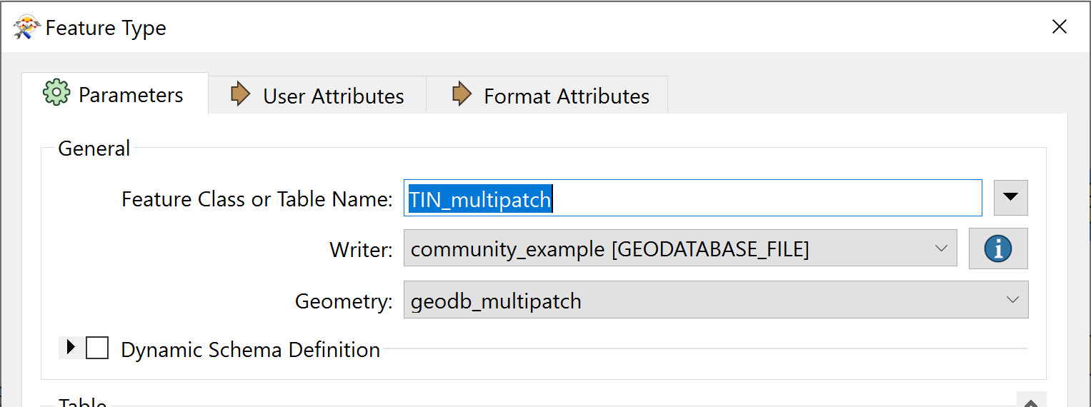
Using the TINGenerator with 3D points as input, I get edges, triangles, surface and points. This looks fine in the inspector, and I can write the results out as e. g. Multipatch. I would like to write the result(s) (just the surface really) out to be readable by ArcGIS Pro as a TIN, like the result of the "Create TIN" GP tool. How do I do that?
"Esri ASCII Grid" fails no matter the input and the adf writer (the TIN files in the Pro-created TIN folder end with *.adf, mostly) wants to write e00 files.


