Question

Elevation gain along a line


gattogis
Contributor
Forum|alt.badge.img+1

I’m working on an analysis to determine the correct calculation for elevation gain and loss along a line representing a real-world route (such as a trekking, marathon, or MTB course). I’m using FME and have two source vector datasets: a GPX file that already contains Z values for each vertex and a PostGIS line to which I need to assign elevations from a DTM (Draper).


Is there a standard workflow for this type of calculation?

2 replies

j.botterill
Influencer
Forum|alt.badge.img+36
  • Influencer
  • March 24, 2025

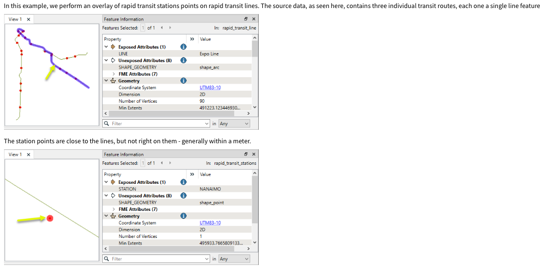
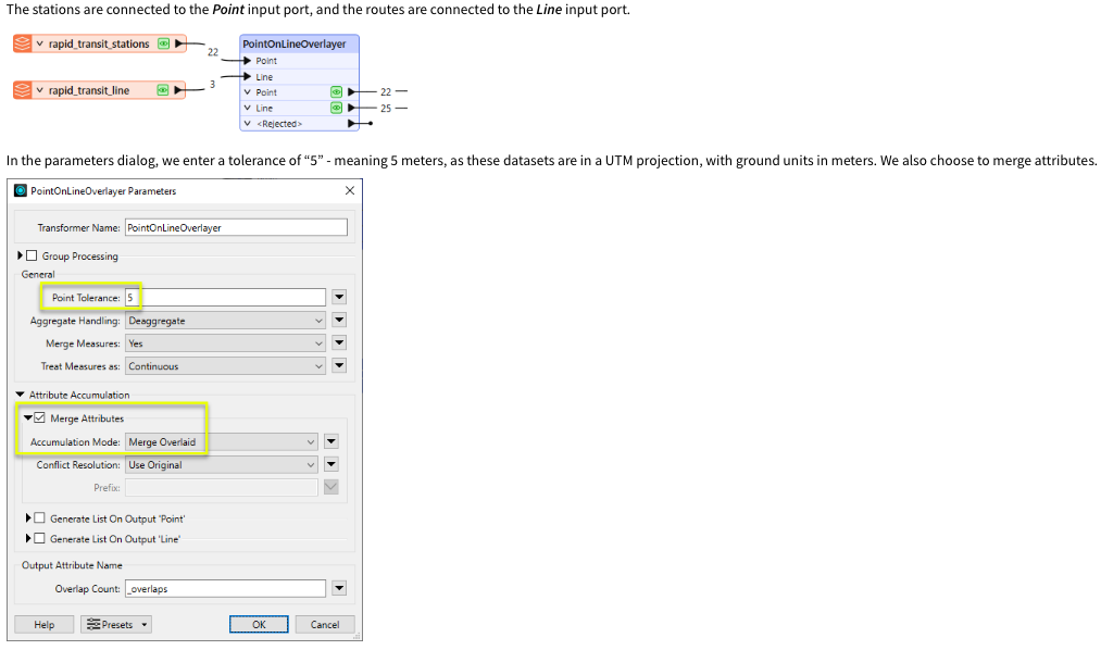
PointOnLineOverlayer here is an example from the documentation

You may also want to consider Attribute Adjacent to perform the arithmetic calculation of gain/loss between vertices/line segments


gattogis
Contributor
Forum|alt.badge.img+1
  • Author
  • Contributor
  • March 24, 2025
j.botterill wrote:

PointOnLineOverlayer here is an example from the documentation

You may also want to consider Attribute Adjacent to perform the arithmetic calculation of gain/loss between vertices/line segments

Thank you for your suggestion! The PointOnLineOverlayer could be useful, but for now, I’ve decided to proceed by splitting the line into multiple segments using its vertices. For each segment, I will assign the start and end vertices (start_vertex, end_vertex) and then calculate the elevation difference (ΔZ) between them. Finally, I will sum up all the ΔZ values to get the total elevation gain and loss.

I appreciate your input!


Cookie policy

We use cookies to enhance and personalize your experience. If you accept you agree to our full cookie policy. Learn more about our cookies.

 
Cookie settings