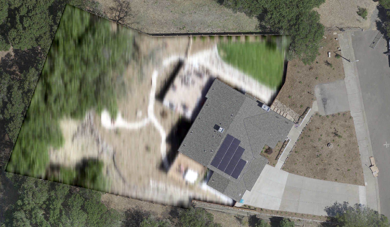
My agency flew high resolution drone aerial imagery and need to blur certain areas of the image, for example certain members of the public have asked that their backyards be blurred for privacy reasons. My rasters are very large GeoTiffs.
If it were only a few locations I would simply use GIMP/photoshop, however its looking to be a significant number of locations that need to be blurred.
I have created polygon features around the regions that are to be blurred, I am assuming that FME can blur the raster areas contained within the polygons without me having to clip those areas out, blur them, and then mosaic them back over the original image? Clipping & re-mosaicing would take a long time since the images I'm working with are >100GB.
Searching the documentation references to the RasterConvolver however I don't see how I can apply that only to the areas within the polygons.
Is there a good method to achieve my goals with FME or should I stick to GIMP/Photoshop??