We use the ProjReprojector to reproject data (FME 2020.1.0.1), using a wkt string. For the UK, a special datum shift grid is specified in the wkt2 string, yet the resulting raster is not located correctly when reprojecting to EPSG:3857.
I'm wondering if this issue is related to FME, parameters in the wkt2 string or my (limited) knowledge in this area.
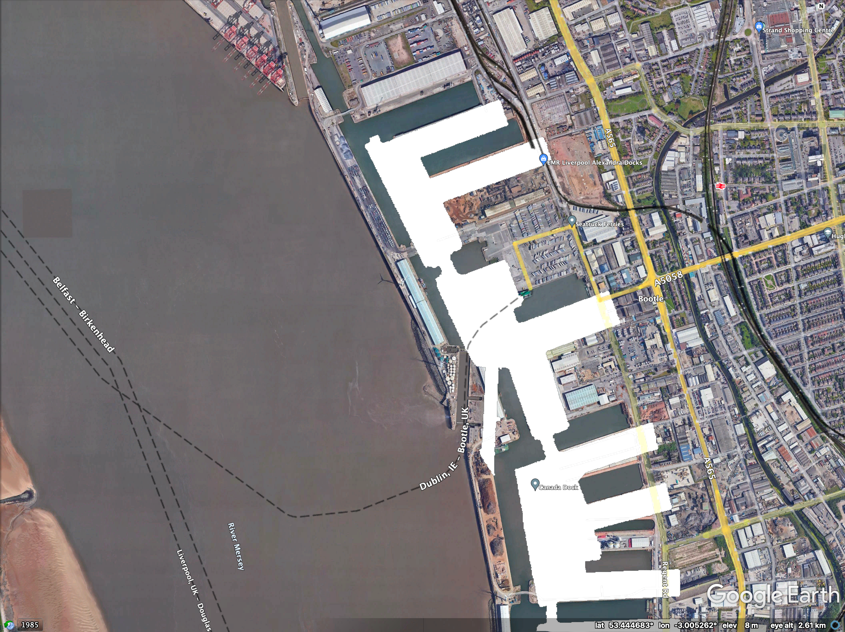
When reading the raster, FME reports a crs of _FME_0. I can manually set this to "OSGB-GPS-2015-OSTN15" using a coordinate system setter, yet I prefer to perform the reprojection based on the wkt2 string.
Can somebody please assist in how to do this with FME? Attached zip file contains the raster data, the wkt string, a document with the current (and expected) location.