Hello, I have DWG file and I was wondering if I can somehow transform it to a GeoTIFF or just TIFF? Thank You in advance

Hello, I have DWG file and I was wondering if I can somehow transform it to a GeoTIFF or just TIFF? Thank You in advance
Enter your E-mail address. We'll send you an e-mail with instructions to reset your password.


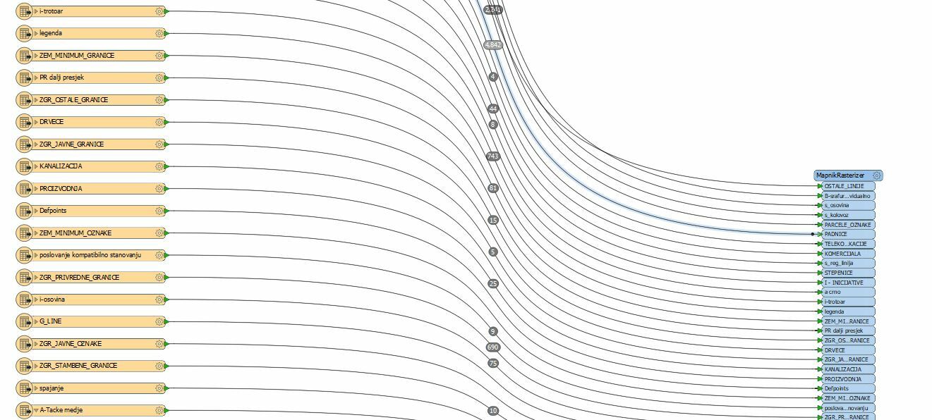
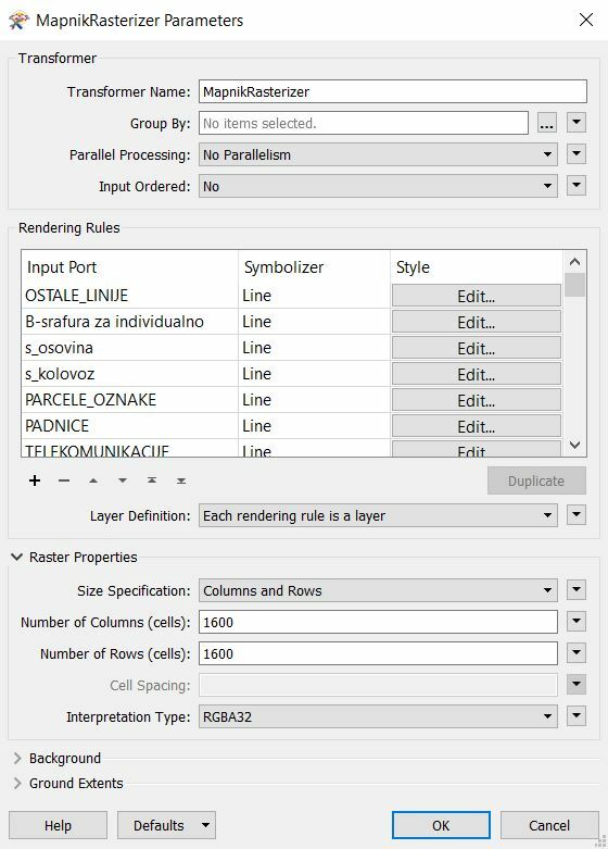
 I have tried like this but it doesn't work. It gives me an error always.