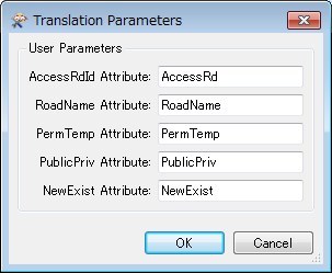
So the scenario is: I have an SDE featureclass with attributes A,B,C. User has shapefile with attributes A,bob,C,D. I want to create a workspace to be run on FME server that will allow the user to map one, many, or none of the fields. I'm not sure how to go about this. I also want to map the matched ones so the users will only have to match the remaining, but still give them the option to change the mapped one if they so choose. Thanks.
allowing users to map attributes
Best answer by xiaomengatsafe
Hi @tnarladni,
One of the suggestions I got from the team is along the same lines of @NathanAtSafe's thought, but using a separate workspace to scan for the input file's schema, and present it in a web form (that you'll need to create) for users to select desired mapping. and this generates a csv file that will be used in a SchemaMapper in a second workspace.
Our Easy Geocoder example uses a very similar idea. And we have detailed information, including some sample workspace and source code for the web form in this link: https://knowledge.safe.com/articles/1116/easygeocoder-data-driven-self-serve-data-transform.html
Hopefully this gives you a good starting point.
Reply
Enter your E-mail address. We'll send you an e-mail with instructions to reset your password.


