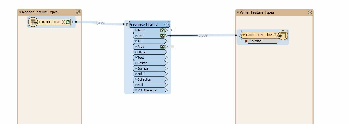
I have a dwg circa 1998 that contains among other things contours and spot elevations. All of these features exis in 3d within the dwg I have confirmed this using AutoCAD viewer as well as the FME inspector. The only place I see the elevation value is in the coordinates section in FME Inspector. I would like to covert these features to a shapefile and capture the elevation as an attribute but don't know how to expose this elevation value.