


I got a dilemma Iam trying to solve, but after 2 days of constant hacking I cant figure out how to do it.
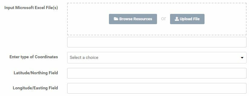
- The script should run on fme server
- User adds an excel-file that constantly changes, the column names containing the coordinates can be named whatever, the sheet can also have different types of coordinates.
- Vertex creator to create points from coordinates
so the workspace need to handle those scenarios.
I tried adding two published user parameters where the user needs to type in the exact name of x or lat column and y or lon column. So my idea was to get the values from those columns and then clean the coordinates, replace . with , and other things. But the problem is I dont know how to get the values inside those columns.
I know fme cant know what attributes the file has but in this case the user already specified 2 columns so that should work?
Any ideas on how I can solve this problem?
If its not possible, the alternative must be 2 workspaces but I cant find any tutorial on how to do that.
I attached a simple excel-file.

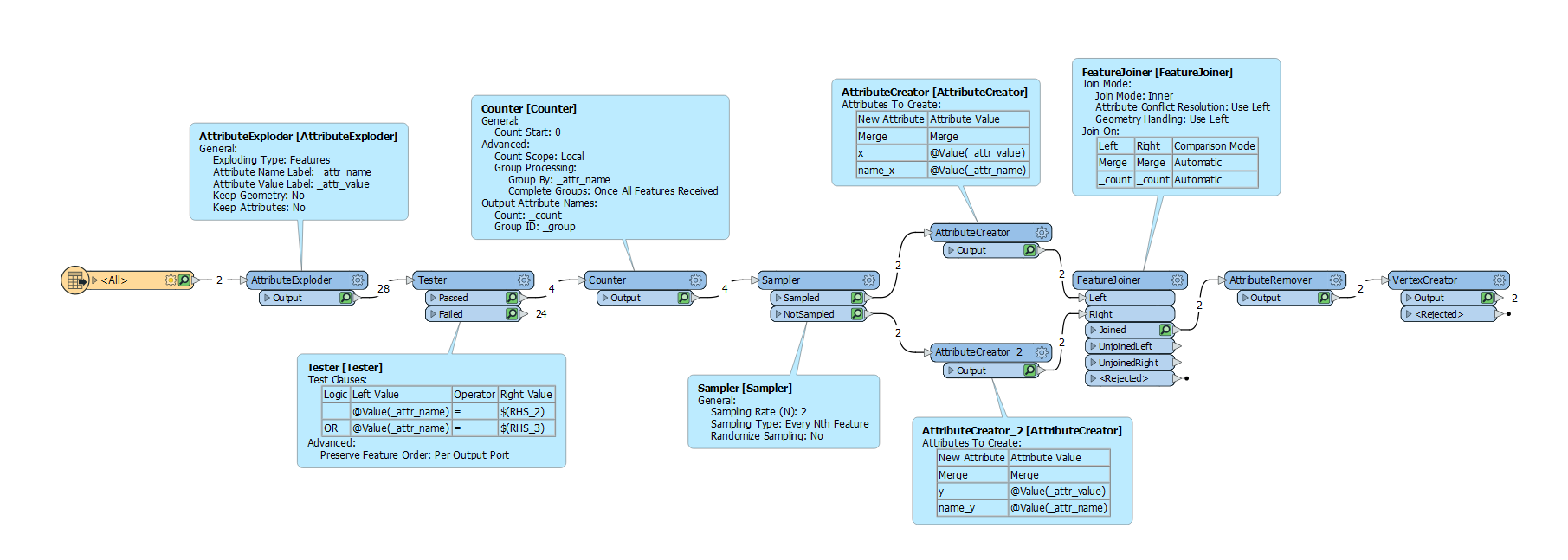
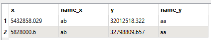
 The other important part was to have two readers set up from the same file. One XLSX reader and one SCHEMA reader. I then merge these two right away and create attributes from the parameters to then process and use in the VertexCreator transformer.
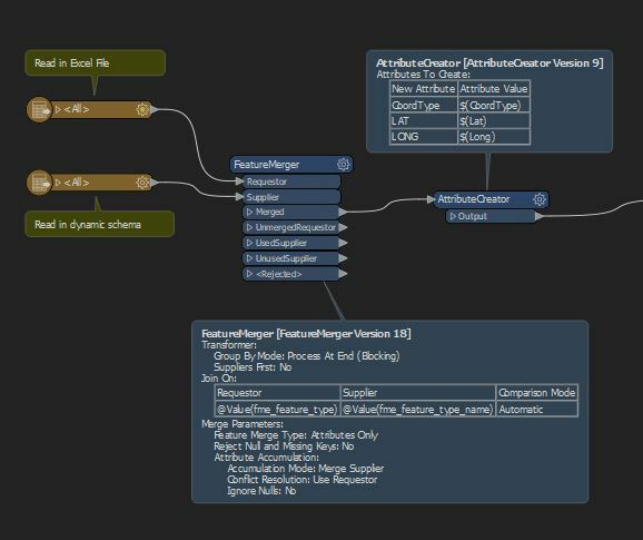 I hope that helps, let me know if I haven't explained it very well.

 I hope that help you.


