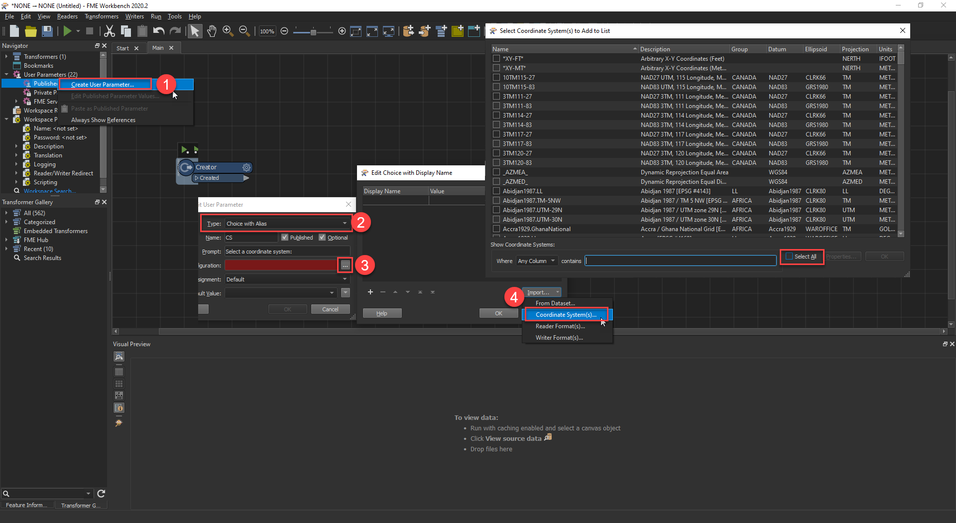
So I have a Coordinate System Name Parameter and in Workbench I get this nice gallery to help me pick and choose. There are several columns of data to use for searching or sorting...very nice indeed.
However now if I publish my workspace to FME Server, we get this:
 At this point the user would need to know what they're looking for, but without the metadata shown in the Gallery, you don't know exactly what you're picking especially if the end user is not a coordinate system expert (myself included!). For example I'd like to search for a UTM in meters, something in central US, etc. to ensure that any Lat/Lon coordinates are converted to something that makes sense for the picked area on a map.
Any thoughts? Should this be a wishlist idea? Thanks.


