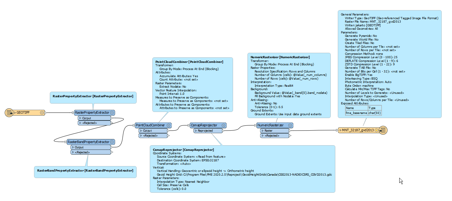
Hello @bgeorges, thanks for posting! Are the points expected to move only vertically in this reprojection? Not horizontally?
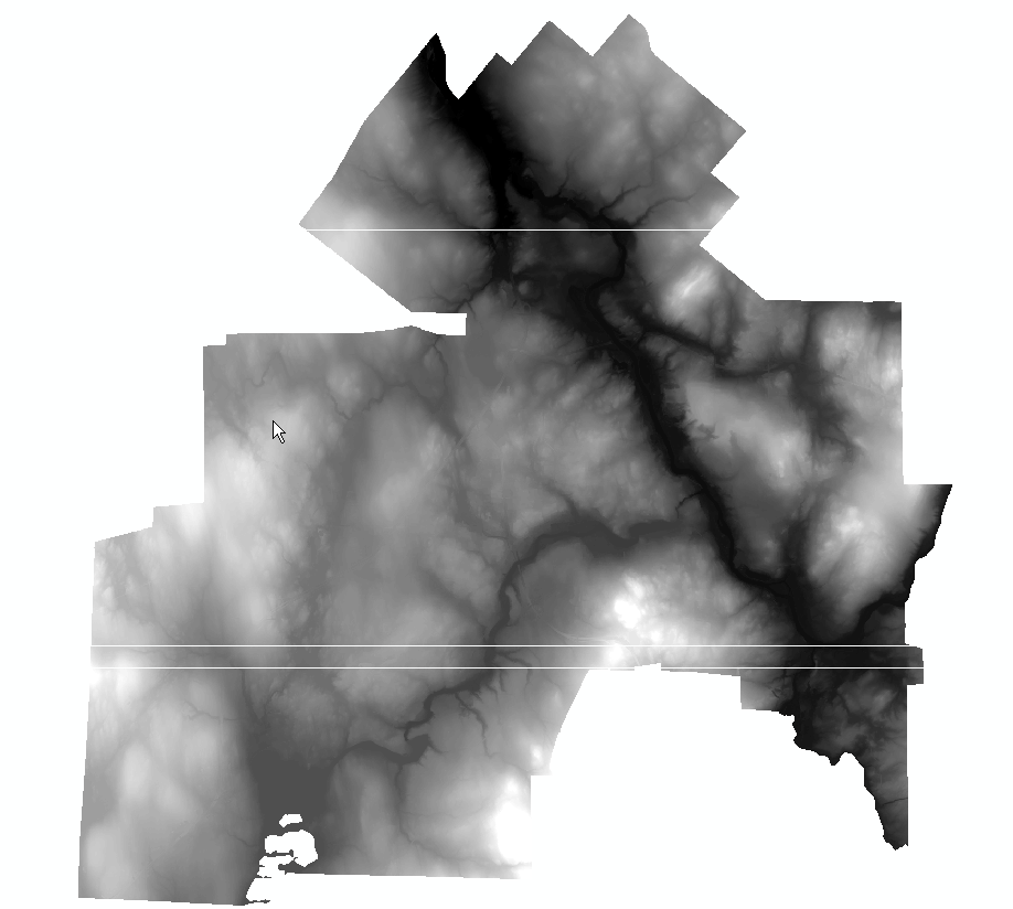
If so, it's possible that the properties of the raster created by the NumericRasterizer slightly differ from the input raster, which is causing us to end up with some rows with no points, where the points fall just into the surrounding rows. Kinda like this:
 There are some potential things you can do to workaround this. One option, on the NumericRasterizer, is to change the Ground Extents option to Specify ground extents, and use the values from the input raster (as extracted by the RasterPropertyExtractor). This will only be helpful if the points are horizontally in the same place after the reprojection.
Alternatively, instead of a NumericRasterizer, try using a SurfaceModeller to generate a raster instead. This should work regardless of whether the points are horizontally in the same place after the reprojection.
On an aside, I've filed a ticket with our development team to have vertical datum support added for rasters (FMEENGINE-74575). I've also found this related idea, in the event you'd like to add some insight! Let me know if you have any related questions! Happy to help, Kailin
 The output tif seems correct except for some artifacts (white horizontal lines) that appear in the image
 What can be the cause of those artifacts? Should I care?


 There are some potential things you can do to workaround this. One option, on the

