Hey all,

I'm a new user of FME. And we are using FME (or trying to) to convert bathymtrie data (in PTS format) to geotiffs. We used to do it in C3D but after seeing some vids of fme i think it will be allot faster and easier using fme.

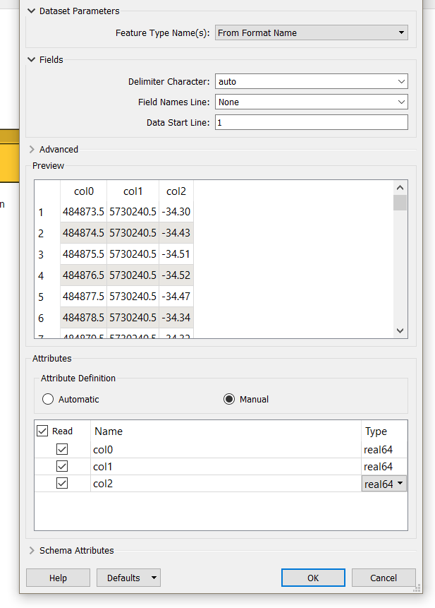
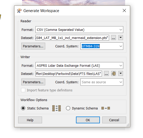
So i googled it and tried some things but i keep ending up with the same error log ( in a picture below.). After some more search work i got the advice to first convert the PTS format to a LAS format. But still i'm givin the same error. I'm guessing there is something wrong with my parameters?

Thanks for the help.

Grts,

Koen
Hi @venkenk,

I think the best answer on this post might be helpful to you: https://knowledge.safe.com/questions/65599/csv-to-las.html in addition to this tutorial: https://www.youtube.com/watch?v=OeW72BteADM

Since you are currently using the CSV reader to bring in your PTS file this records the data as non-spatial so you would first need to take these coordinate values and append them to point geometry. You are receiving an error because the writer cannot detect any geometry from the csv file currently. This article provides some more information on different ways to do this: https://knowledge.safe.com/articles/56486/converting-from-csv-data-2.html


Reply