Hello All,
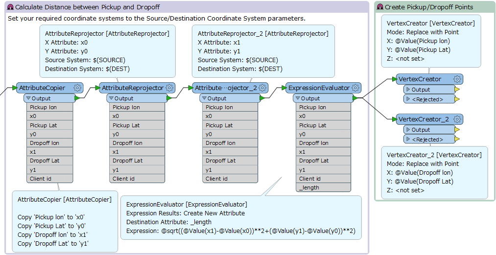
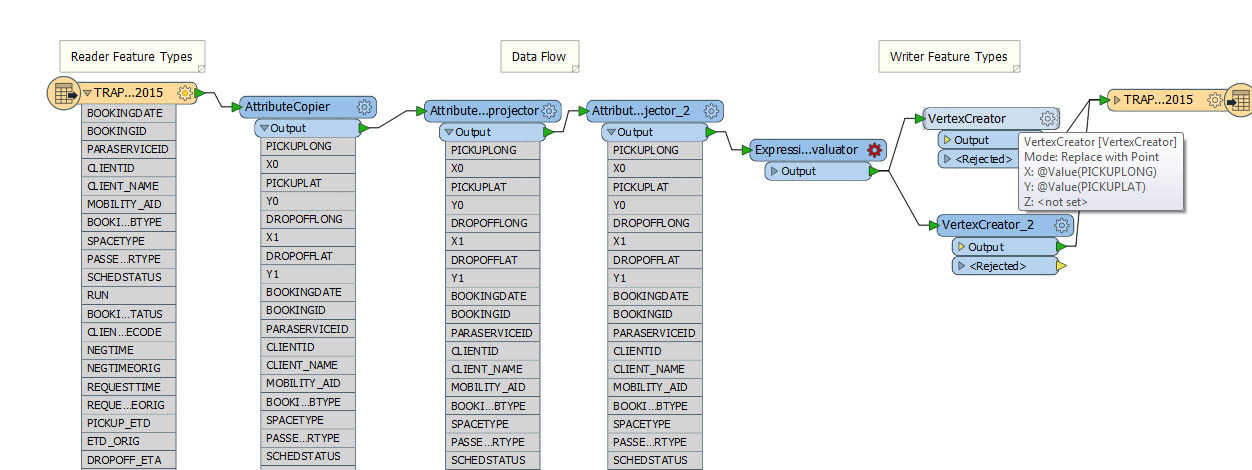
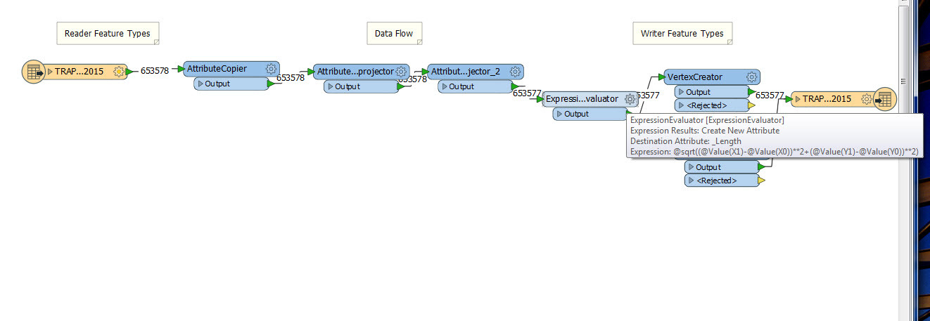
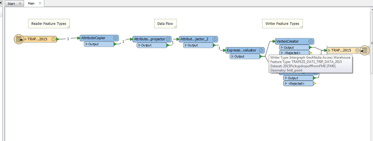
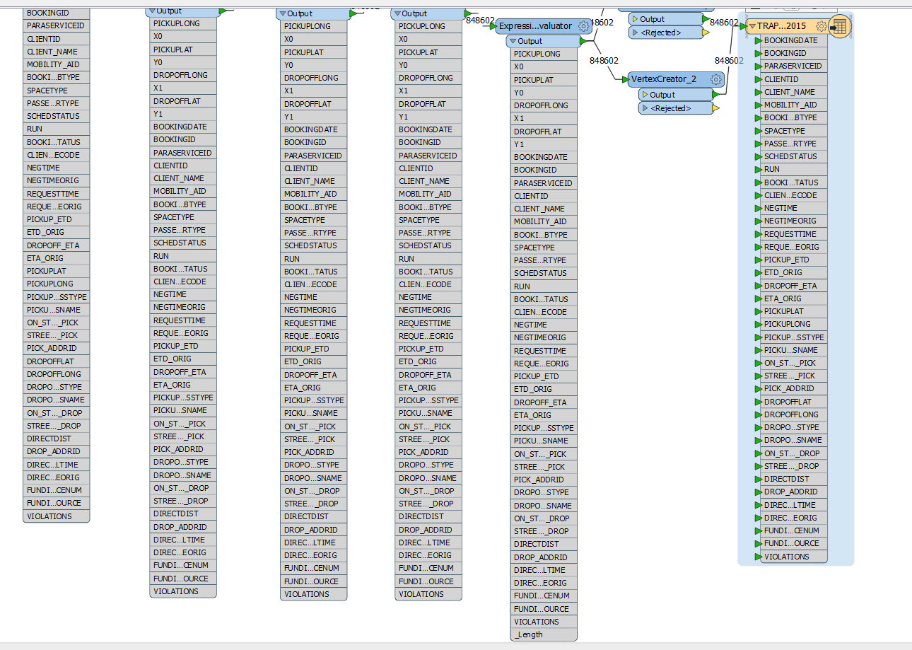
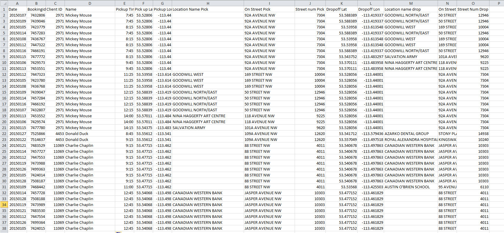
I have two X (Longitude) and Y (Latitude) values of each attribute. The first X & Y shows for the pickup location whereas the second one is for the drop off location. How can I get MITAB format file that shows pickup and dropoff in different colors? Also, I want to measure a direct distance between them. I tried AttributeProjector but it gives me only one x and Y attribute. Here is the sample of my data:


