Thank you. I've done the everything just not quite seeing the lines appear ontop of the rasta. It seems as if the lines are condensed together at the top left of the rasta once they are combined. Image below.
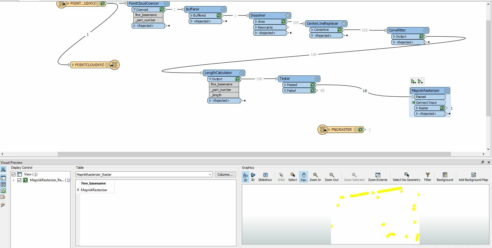


Capture1 

The yellow lines now seem to be top right? Why are they not overlayed to look the same as above?Capture2
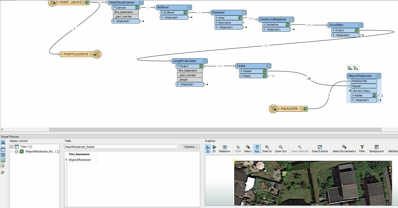
Have you verified that both the raster and the vector features are all in the same projection and that they overlap?


Have you verified that both the raster and the vector features are all in the same projection and that they overlap?

How do I do that? Thanks in advance.


How do I do that? Thanks in advance.

Where has the raster come from? Does it actually have any georeferencing?


How do I do that? Thanks in advance.

Its just a png image. So wont have any georeference yet. I just want to overlay 2 images at the moment so it 'looks nice' then maybe work of lat/longs etc later?


But I cant even get a clean overlay yet?


How do I do that? Thanks in advance.

How do you expect FME to know where on the earth to place the png relative to the vectors? Do they both occupy exactly the same space?


How do I do that? Thanks in advance.

Ok so I'm new to this. I don't really know. The raster is just an image... the image I want to overlay is a set of yellow lines. How do I make them have the same underlying system so they overlay smoothly?


How do I do that? Thanks in advance.

You'd need to know the extents of your raster and use a raster georeferencer to set the location (somewhere around 384545 169688 in BNG/EPSG 27700)

Typically, you'd have access to the aerial imagery that is geolocated so you wouldn't need this step

If you just want to view the lines over some aerial imagery, you could save as kml and view in google maps or google earth.


if I attach the fme project file could you show me how to overlay please?


if I attach the fme project file could you show me how to overlay please?

Basically you have to take your raster and find the coordinate values for the four corner pixels (at least that's the easiest). If you can locate the raster extents in e.g. Google Earth, then that would be one way of doing it. Then use the RasterGeoreferencer transformer and associate the png with those four coordinates so that FME knows where on the globe the png lies. It should then, in principle, overlay with your vector data, which should be referenced already.


Reply