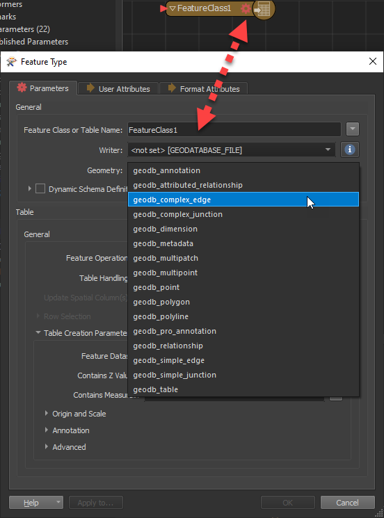
What is the logic of saving individual object types from an IFC file to the resulting geodatabase feature classes?
I am asking because lines are also created for some types of objects with solid geometry. In addition to the multipatch object class, a nonspatial table is also created. No nonspatial table is created for the following object types: IfcGrid, IfcSite. What it depends on? How does FME map geometry from IFC files to feature classes?
Regards,
Aneta


 One transformer that can help you sort out the geometry of your features is the