 Hi,
Hi,
I have a “Reader” file in DWG format and in EPSG coordinates: 25830 ((ETRS89-TM30)
This file is located in coordinates UTM Zone 30
I need to change these points from Spindle 30 to SPINDLE 29
I apply the transformers
1. CoordinateExtractor
2. AttributeReprojector
3. AttributeManager (with custom parameters)
So far everything is correct, I see it in FME Preview and it is correct.
My question is this:
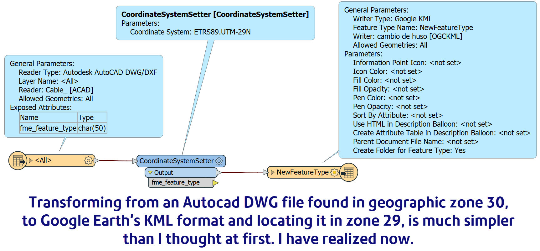
How can I transform this data to the Google Earth KM format? What transformers do I have to add?
Thank you.


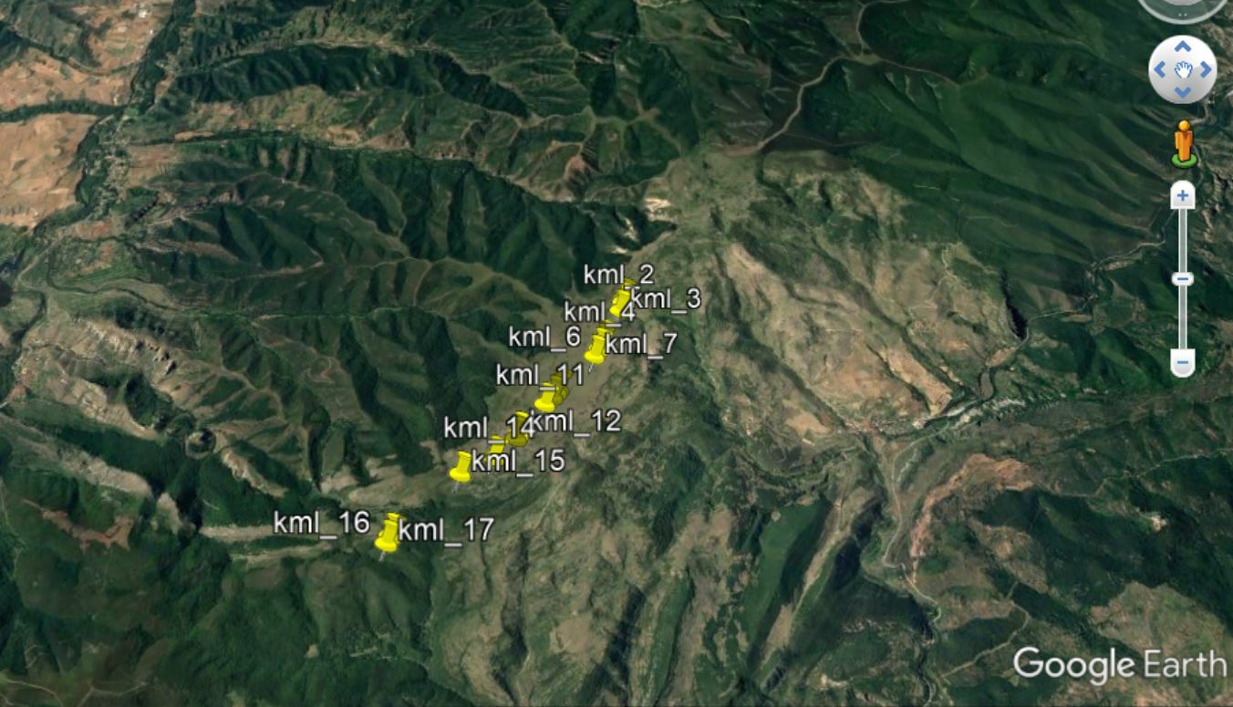
 The result in Google Earth:


