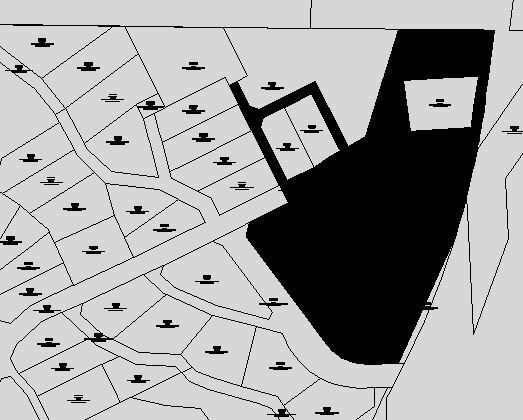
GeometryFilter (Area) -> GeometryCoercer (fme_polygon) -> DWGStyler (Areas - polygon)
I'm also using LabelPointReplacer.
The resulting CAD file shows ploygons but it's also converting some of the areas to filled blocks? How do I ensure that all areas become polygons?

