Hello everyone,
I'm currently trying to make a path from a GEOJSON "link" which was return from a HTTPCaller. Is there any way to transform the link below into a line feature?
Thank you in advance.
This, below, is the GeoJSON file in question.
https://docs.google.com/document/d/1-H6F53Z3Mpu9qmOLQwvifWVPuG7xgjtk4aekHyG1nUU/edit?usp=sharing


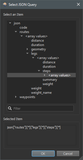
 Then switch back to JSON Attribute and select the response body from the HTTPCaller.