Dear FME friends,
Welcome to What's Up Wednesday.
For reasons of space, this is an extract from the full version of this newsletter, which you can find here on LinkedIn.
The Peak of Data Integration, 2023!
Even though the last user conference ended not long ago (or perhaps because it ended not long ago), I'm really excited that we already have online details of next year's conference!

As previously announced, next year's conference is taking place in Bonn, Germany, in September 2023, hosted jointly with con terra. Yes, we're coming to Europe!
So save the date for sure, but also start thinking about what story you would like to share, because the call for presentations is already open.
Hexagons in FME
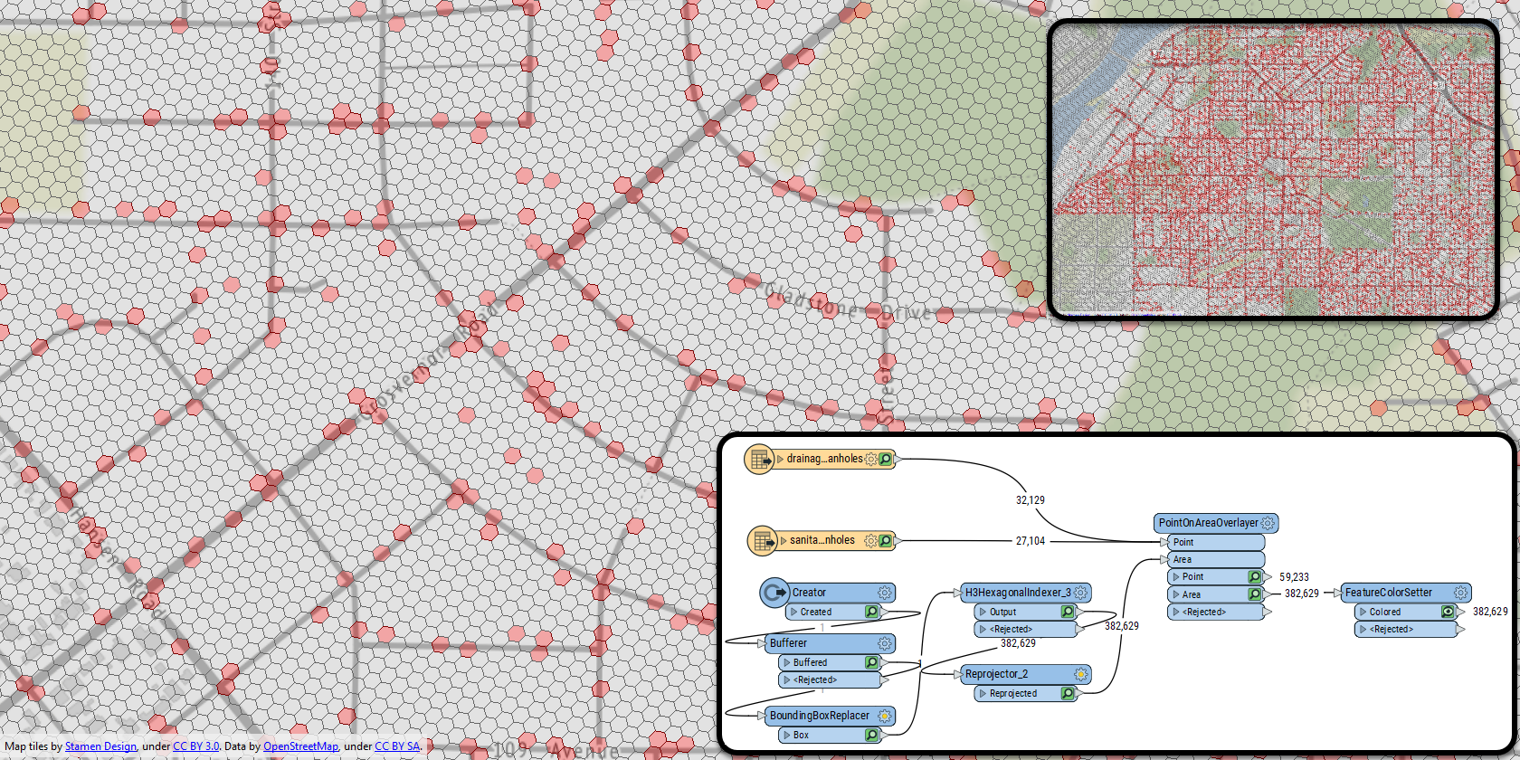
In case you didn't know, there is an ongoing event called the #30DayMapChallenge. That's when you're encouraged to create a new map every day in November, each on a set topic. A recent topic was "Hexagons," and so I thought I'd use the H3HexagonalIndexer transformer in FME. To be sure, I didn't spend much time styling the results:

But the important part is that I made a "Five Minute FME" video for sharing how the map was made and what else the H3HexagonalIndexer can do.
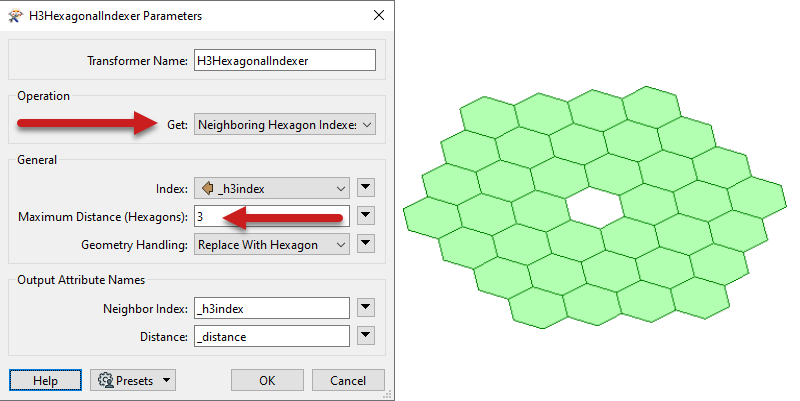
I wasn't the only person to do this. SRG in India also used FME to generate some hexagons. It's an interesting transformer because it's not just used for generating map hexagons, but it also generates hexagon indexes and does analyses like "find neighbouring hexagons to a distance of x":

So check out the video and see what hexagon patterns can do for your workflows.
GIS Day and FME Day!
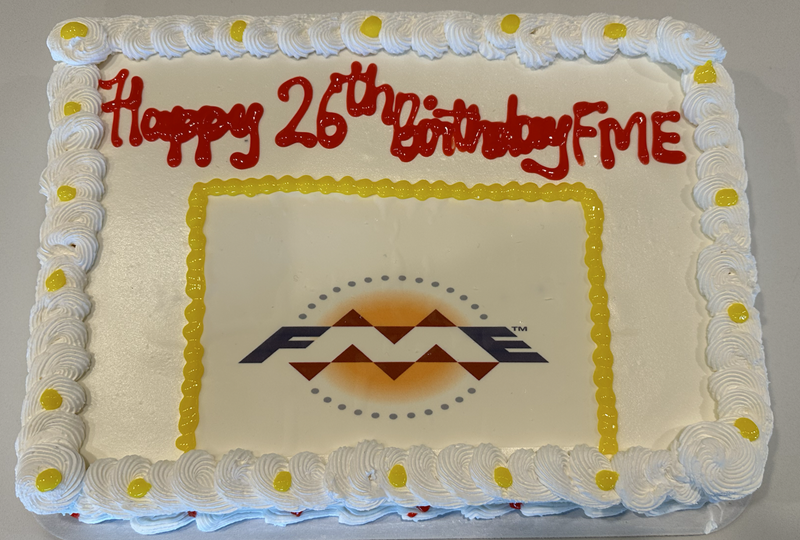
So GIS Day is today (November 16th), but last Monday was an important milestone for us at Safe, because it's the anniversary of the first FME release, on November 14, 1996.
They say that nothing on the internet is ever lost, and here's the proof: the announcement of FME's first release.
Like most events at Safe, we celebrated with ice cream cake:

With the way Safe is growing, I think we might need a bigger cake for the next anniversary! Note that Safe Software itself is a little older. I believe that next year is our organization's 30th birthday!
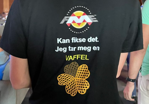
Back to GIS day, in Norway, a twist on the "FME can do it" meme:

FME can do it. I'm having a waffle!
I assume that's a Norwegian thing. Are there any other local things that you would do while FME is busy? I think where I am, it would be, "FME can do it: I'm busy shovelling snow!"
Spatial ETL for 3D Building Modelling
This is a couple of years old now, but I think it's still very interesting: it's an academic article about Spatial ETL, what it is, and how it can be used for 3D building models. What they did was "construct a 3D building model from a dense image matching point cloud" using FME (and a couple of other tools).

The output was in CityGML (LOD2):

So if you're interested in capturing buildings automatically from point clouds, and you don't mind reading through a fairly dense academic paper, then this is the article for you.
Other News
In general other news:
- If you're in Brazil - or can understand the language - check out this upcoming webinar on FME and Digital Twins from partner Solutial on November 30th.
- Also on November 30th, don't forget we have a webinar on producing high-quality cartography using FME, featuring guest speakers from Red Geographics and Avenza.
- Did you know that we have a series on the knowledge base entitled "How Do I Do That in FME?" We're working on a few updates, but really I just wanted to take the opportunity to increase awareness of these articles. For example, there is how do I Do Raster Slope Calculation in FME, how do I Create Lines from Points, and how do I do a Point in Polygon Overlay.


