Hello,
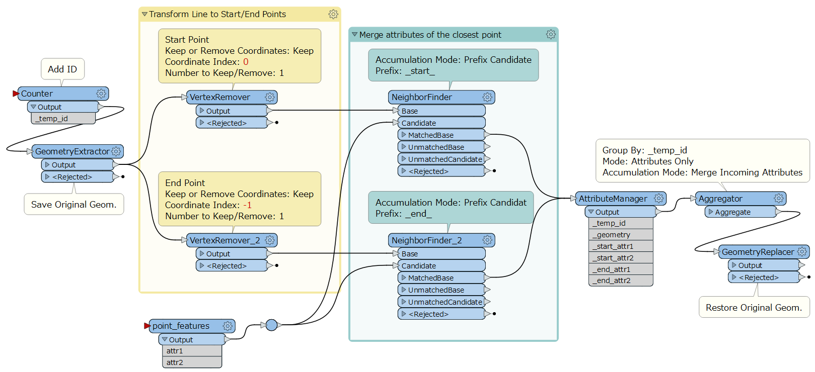
I have a pipe table (Polylines) and a manhole table (Points). I would like to spatially join the point located at each pipe start, to link the attributes of each entity.
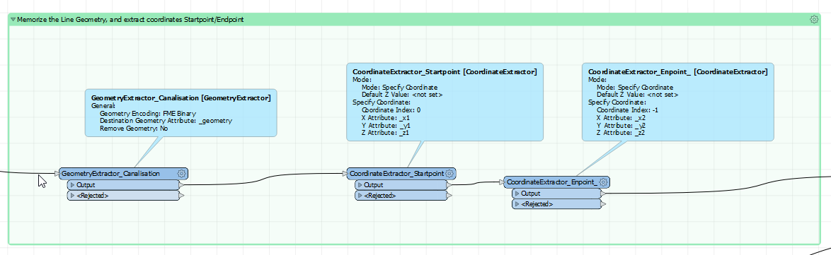
I manage without problem to find the point for the beginning of the line thanks to a NeighborFinder, but impossible for the end point.
How to do ? Possible ? Thank you in advance.

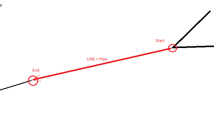 In fact, I am looking to take the altitude of the 'Start' point and the altitude of the 'End' point, of the two points linked to the line, which are stored in the 2nd table.
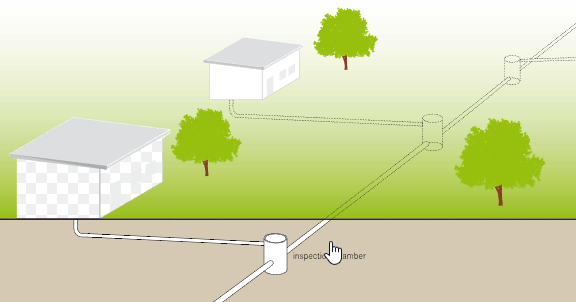 652 / 5 000