Hello,
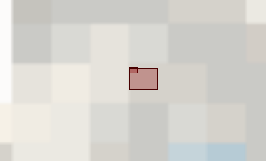
I have a wms that I'm clipping with a polygon bounding geometry. It work but the problem is that FME don't refresh the maps to the level of zooming of my bounding geometry. So It cut the whole planisphere and I have only one giant pixel as result of clipping ... how can I do to have a a detailed map ? Here is url if you want to test : http://ows.terrestris.de/osm/service


