Background: We have an almost complete library of Vietnam-war era topographic maps in CADRG format. There are some "holes" in the coverage that I am trying to fill. We use these maps as a background for creating tactical overlays of battlefield information, unit locations, prominent terrain features, etc. I am a Vietnam Vet (USMC), and these maps/overlays/annotation are provided to other vets and researchers at no cost.


Up until now, I've use an assortment of other programs to covert both geo and non-geo map imagery into CADRG files (gdal, QGIS, GeoRect, CadrgConvertor, Open Map, Gimp, etc), and as "viewers" and overlay editors of the CADRG use primarily FalconView and Open Map.


I'd like to learn how to use FME to do this end-to-end if possible. I've tried a few basic conversions in Workbench with varying degrees of success...mostly trying learn by and adapt work by other users. I'm a very basic user.


Much of the source material for the map imagery comes off the internet. A primary source for Vietnam topomaps is: https://maps.lib.utexas.edu/maps/topo/vietnam/. Most are geopdf files, with some non-referenced .jpg files.


I'd like some example work flows that will accomplish this mission. I'm a slow learner, but will stick with it until I understand the details.


Please distribute this to the appropriate group/forums.


Thanks

Bill McBride

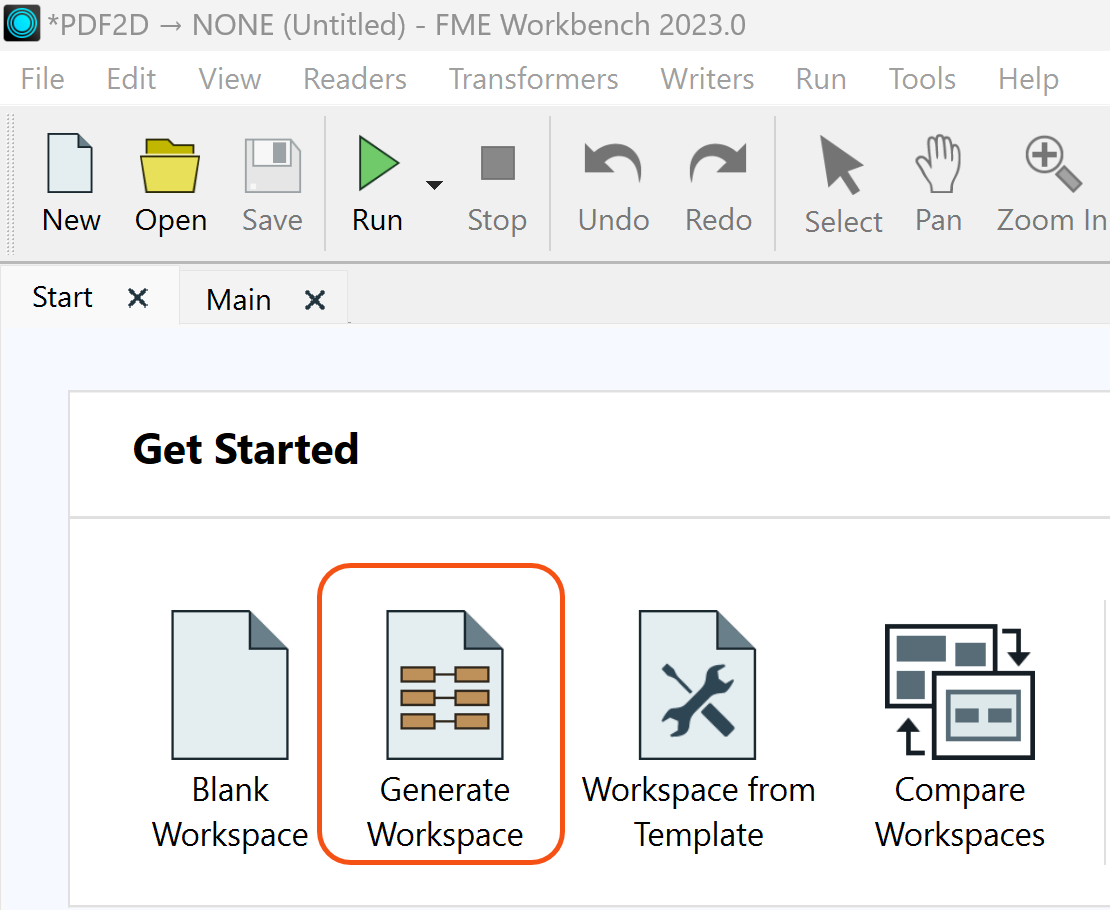
Hey @billmcbride​, sounds like a really interesting project. Are you looking to geo-reference these GeoPDF's or just to convert them to a raster format, in this case CADRG? If not, then this should be a relatively simple process. I recommend using the Generate Workspace function when you first open FME Workbench. This is usually a good place to start. image 

If that doesn't quite work out for you take a look at the following how-to articles:


If you're still having struggles getting the translation to work, let us know what issues you're running into and share your workspace here. We'd be happy to take a look.


Thanks for the reply and advice.

Most of the geopdfs are already georeferenced, however some of the topo maps are un-referenced jpegs or tiffs, so for those I'll need to add ground control points and rectify the images. I will also have to learn how to "trim" the collars off the map images. Most were scanned from the paper maps at 300dpi by NIMA or the Army Map Service.

The source material for the tactical overlays, etc are from unit after action reports and message traffic, and almost all use MGRS. I use FalconView to create the graphic overlays.


Looking forward to learning how to use FME.


Thanks

Bill


Issue with following one of the tutorials recommended:

The Tutorial is : Creating PDF Cartographic Output

When trying to configure the "Tester" in Step 3 I don't see an option in the Left Parameter pull-down menu to access the "cached features" , even though I have feature caching turned on. WB build 2023.0

Am I overlooking something obvious?

thanks

bill


Reply